Climatological winter is over and it was much different than the past two recent ones in Tampa.
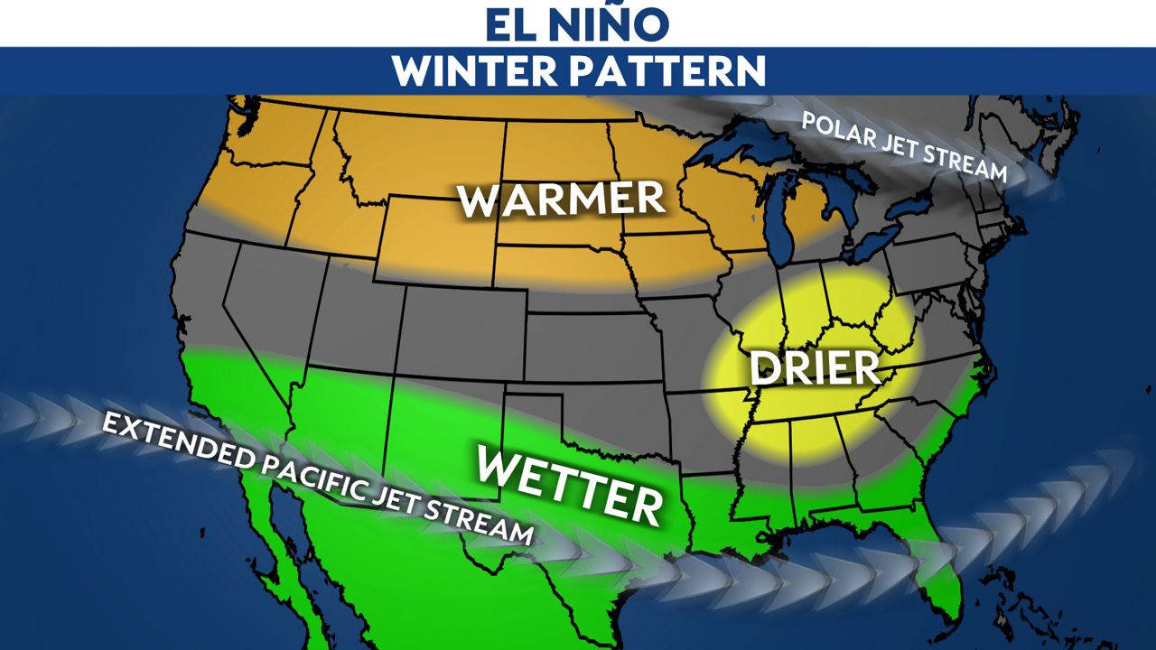
El Niño delivered its promises to Florida this year, with 11.03 inches of rain from the first of December to the end of February.
As is typical with an El Niño pattern, the subtropical jet stream set up across the southern United States, serving as the central storm track for cross-country low pressure systems.

This was the 20th wettest winter on record out of 134 years of data. A typical winter yields 7.83 inches of rain.
Temperatures averaged out to be slightly below normal with an average temperature of 63.3 degrees, 0.5 degrees below normal.
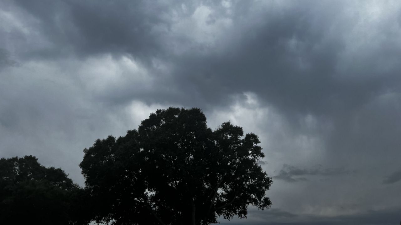
Also, it was the cloudiest December and January on record in the Tampa area, according to research by Alaska Climatologist Brian Brettschneider.
Generally, overcast skies led to a smaller range of temperature from morning to afternoon on many days.
This could have led to a feeling by many to perceive this winter as much more cooler than normal than it actually was, since daytime highs tended to be more below normal than overnight lows.
Nonetheless, it was the 2nd coolest winter of the last 10 years, so recent residents of the area have good reason to believe that it was a chilly winter.
The last two winters were more than 3 degrees warmer for Tampa.
Our team of meteorologists dives deep into the science of weather and breaks down timely weather data and information. To view more weather and climate stories, check out our weather blogs section.


