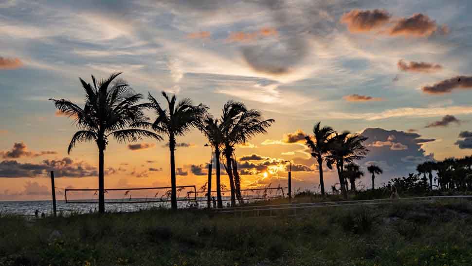
ST. PETERSBURG, Fla. — As expected the pattern shifted today and now our winds are coming from the west off the Gulf. Therefore you can expect showers and storms to move in from the Gulf during the morning hours.
- Southeast cold front
- Onshore wind
- Wet couple of days
- SEE BELOW: See our 7-day forecast ▼
- CALCULATE: How hot can your vehicle get? ▼
Otherwise expect variably cloudy skies with lows in the low to mid 70s inland and upper 70s near the coast.
In this type of pattern some showers and storms can come in from the Gulf at any time day or night. But they do tend to increase in coverage during the morning to early afternoon with a decrease in coverage during the late afternoon to evening as they shift east to the other side of the state.
Also in this pattern our temperatures are not as hot since we get more cloud cover and an earlier start to the rains.
So expect highs only in the mid to upper 80s the next couple days.
- WEATHER ON THE GO: Download the Spectrum Bay News 9 app and get Klystron 9 alerts wherever you are
- GET WEATHER ALERTS: Sign up to receive weather text alerts from Spectrum Bay News 9
- Klystron 9 | 7-Day forecast | Tampa Bay-area temperatures | Travel weather
This pattern will hold in place into Thursday since that cold front that moved into the southeast has stalled and will keep the onshore wind in place for us.
Once that front finally falls apart and drifts back north we will get back to a more typical pattern this weekend.
With that in mind, expect a 70 percent coverage of showers and storms the next couple days, then dropping to 50 percent on Friday into the weekend.
7-day forecast

We want your pictures!
Show us what the weather looks like in your neighborhood. Your photo could end up on Spectrum Bay News 9.
- Get the Spectrum Bay News 9 app for iOS or Android
- Tap "Submit Content" at the bottom of the app menu
- Remember to include your name and location


