


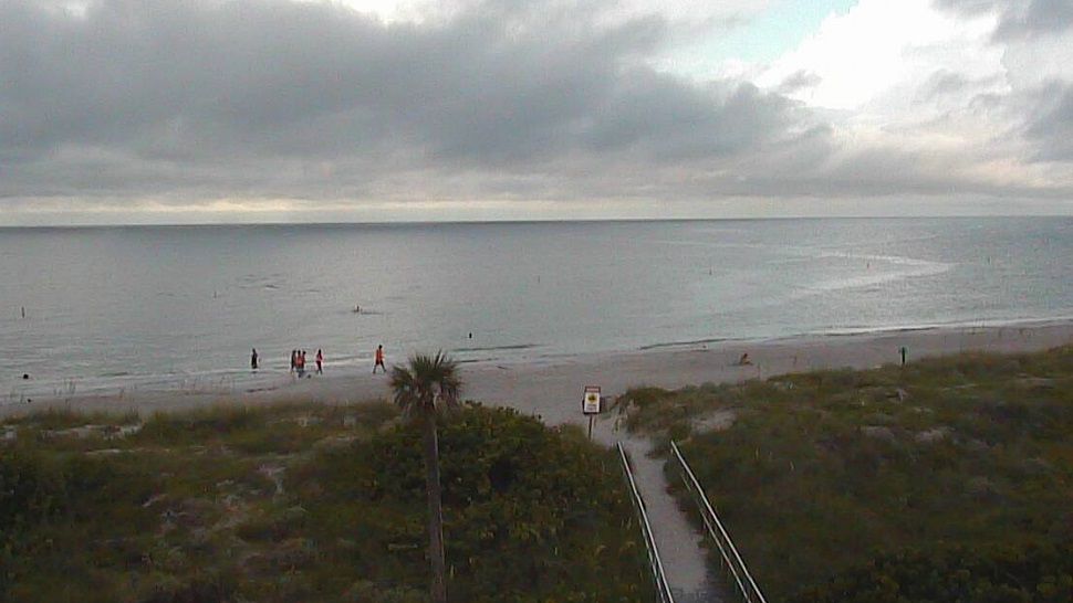
ST. PETERSBURG, Fla. — With a trough of low pressure in the Gulf and high pressure over south Florida, we will have a southwest wind through the weekend.
- Onshore Wind
- Earlier Start To Storms
- Storms Move Inland
Scattered showers and thunderstorms will continue to impact our area through the next several days. Our current pattern favors storms along the coast earlier in the day then inland areas for the afternoon as storms slowly shift inland.
There is a trough of low pressure over the Gulf of Mexico and a ridge of high pressure over south Florida. This results in a SW wind flow where our air mass comes from the eastern Gulf of Mexico.
Scattered showers and thunderstorms should develop early Sunday morning over the eastern Gulf of Mexico and impact our coastal communities during the morning. These storms will shift inland through the afternoon. We are not expecting a washout by any means.
- WEATHER ON THE GO: Download the Spectrum Bay News 9 app and get Klystron 9 alerts wherever you are
- GET WEATHER ALERTS: Sign up to receive weather text alerts from Spectrum Bay News 9
- Klystron 9 | 7-Day forecast | Tampa Bay-area temperatures | Travel weather
Storm coverage for Sunday will be around a 30 percent so there will be plenty of dry time with pockets of sunshine through the day. Temperatures should reach 90 degrees Sunday afternoon.
The storms should end by Sunday evening with temperatures dropping into the mid-70s overnight.
Our pattern doesn’t change much going into Monday. The timing of the storms will be similar with coastal areas impacted earlier in the day and inland areas impacted during the afternoon. We do expect more coverage of showers and thunderstorms Monday.
Temperatures on Monday will reach the low 90s.
Tuesday through Wednesday will be our typical pattern for August with daily showers and thunderstorms. Coverage of these storms will be about 50 percent and some may contain torrential downpours. Highs will be in the low 90s each day.