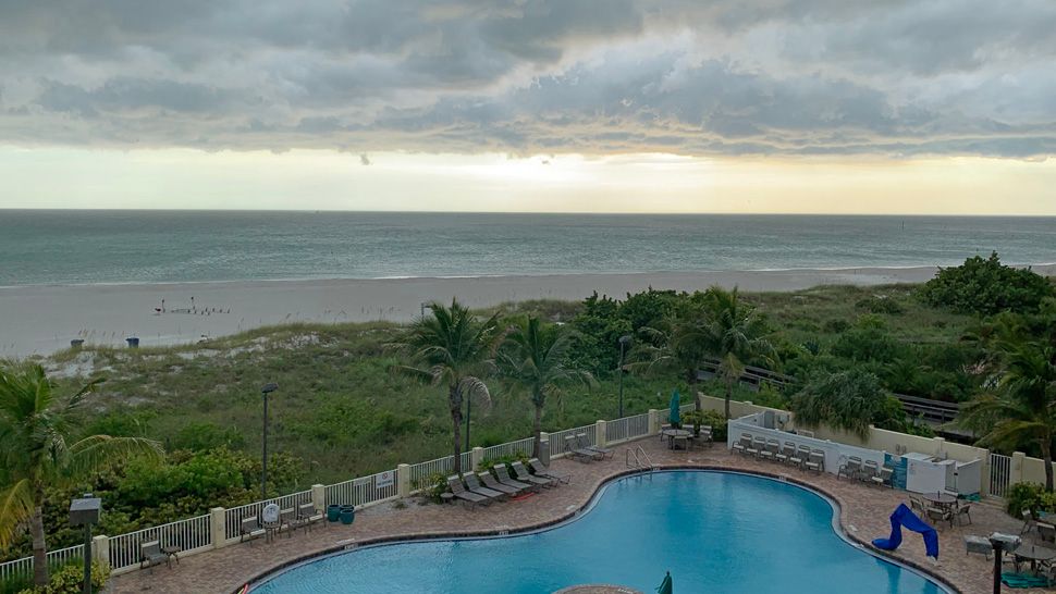
ST. PETERSBURG, Fla. — Skies will be partly cloudy with isolated storms drifting eastward across the area. If you have morning activities planned, be aware that as we’re back into an onshore wind flow pattern, we can get storms to come in from the Gulf of Mexico for the morning hours.
- Onshore wind
- Storms move eastward
- Typical August rain chances
- SEE BELOW: See our 7-day forecast ▼
- CALCULATE: How hot can your vehicle get? ▼
Morning lows are muggy in this type of pattern, mainly in the mid to upper 70s and not dropping below 80 by the beach.
Scattered storms will move in from the gulf and drift across coastal areas during the first half of the day, then east of I-75 later in the day going into the evening.
In this type of pattern all the storms have a predictable eastward movement.
The coverage will be at about 40 percent. Highs will be near 90.
- WEATHER ON THE GO: Download the Spectrum Bay News 9 app and get Klystron 9 alerts wherever you are
- GET WEATHER ALERTS: Sign up to receive weather text alerts from Spectrum Bay News 9
- Klystron 9 | 7-Day forecast | Tampa Bay-area temperatures | Travel weather
The storms will die down Tuesday night, with lows in the mid to upper 70s.
Wednesday will be similar with again an onshore flow. The scattered storm coverage will go up slightly into the 50 percent range. Highs will still be near 90.
This onshore wind pattern will continue into the end of the week.
7-day forecast

We want your pictures!
Show us what the weather looks like in your neighborhood. Your photo could end up on Spectrum Bay News 9.
- Get the Spectrum Bay News 9 app for iOS or Android
- Tap "Submit Content" at the bottom of the app menu
- Remember to include your name and location


