


ST. PETERSBURG, Fla. — A few showers and possibly a storm will move into the Gulf and end this evening.
- Sunday will start dry
- Highs will be well into the 90s
- SEE BELOW: See our 7-day forecast ▼
- CALCULATE: How hot can your vehicle get? ▼
Skies will be partly cloudy to mostly clear through morning. Low temperatures will be in the mid to upper 70s.
The deepest moisture has stayed just to the east and southeast of our area during the past two days. As the low in the Atlantic moves farther away to the northeast, it will not have any more impact on our weather. Development is possible next week well east of the U.S.
- WEATHER ON THE GO: Download the Spectrum Bay News 9 app and get Klystron 9 alerts wherever you are
- GET WEATHER ALERTS: Sign up to receive weather text alerts from Spectrum Bay News 9
- Klystron 9 | 7-Day forecast | Tampa Bay-area temperatures | Travel weather
Starting Monday, some deeper moisture will move back into our area. Southeast winds will quickly switch to southwesterly early in the day. Scattered showers and storms will develop earlier in the day. Storms will move inland. Some heavy rain is possible.
The afternoon will be a little cooler.
On Tuesday, onshore winds will be a little breezy. Showers and storms will start at the coast early, then develop inland a little later. More storms will develop in the Gulf during the day and will move east. Skies will be mostly cloudy, and afternoon temperatures will be a little lower.
With more clouds and higher rain chances, it won’t be as hot, with highs in the upper 80s to around 90 degrees.
The onshore pattern will continue into Thursday. Next weekend, southeasterly winds will return. The mornings will be dry, but expect scattered afternoon to evening storms. High temperatures will increase again.
7-day forecast

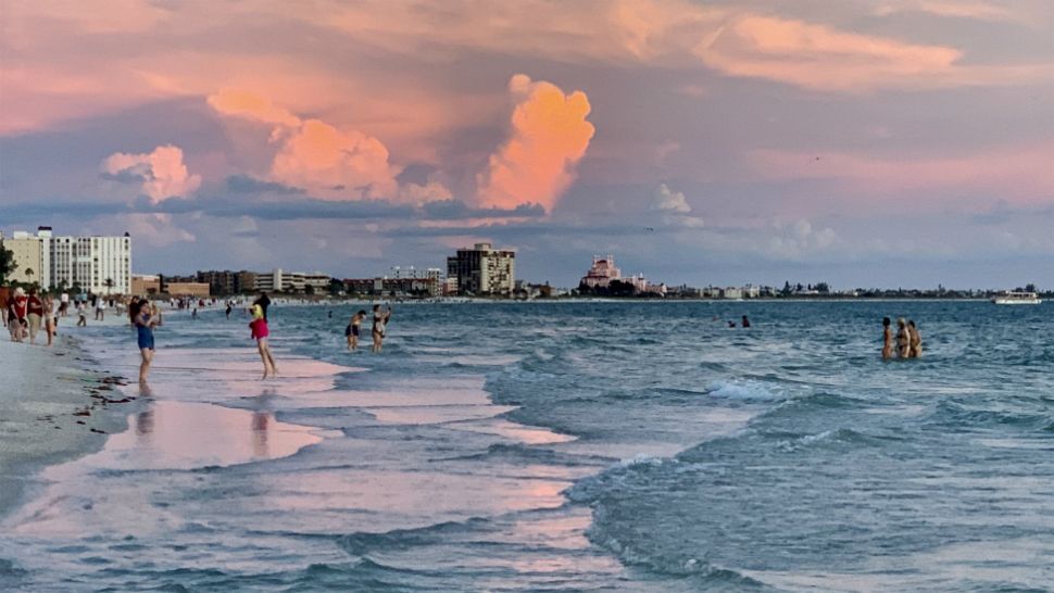
We want your pictures!
Show us what the weather looks like in your neighborhood. Your photo could end up on Spectrum Bay News 9.
- Get the Spectrum Bay News 9 app for iOS or Android
- Tap "Submit Content" at the bottom of the app menu
- Remember to include your name and location