


HONOLULU — The second phase of a project aimed at increasing public awareness of Oahu’s Tsunami Hazard Areas has begun as 260 road signs are being installed at key entry and exit points along coastal roadways, according to the City and County of Honolulu.
Earlier this month, the first road signs were posted in Windward Oahu. The project will continue through the end of the year.
Tsunami Hazard Areas are areas that fall within one of Oahu’s two tsunami evacuation zones. The red color on the map represents the standard evacuation zone used for almost all tsunami warnings. Yellow represents an extreme zone that is evacuated only in a rare, more extreme tsunami event triggered by a magnitude 9.0 or greater earthquake off the Eastern Aleutian Islands.
There are no changes to tsunami evacuation zones indicated on the map.
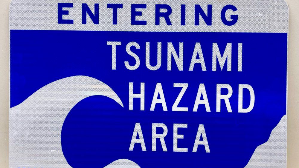
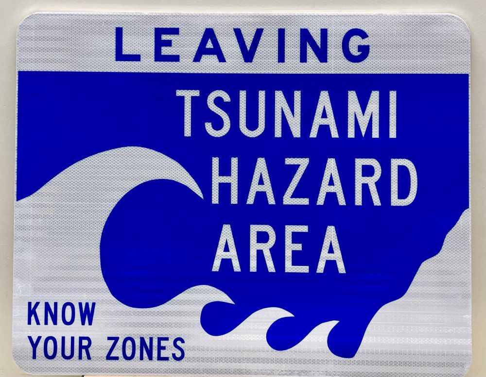
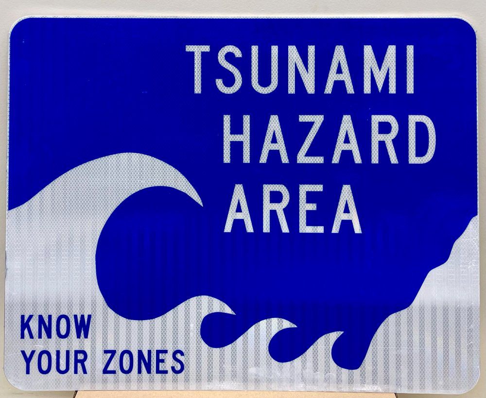
Three different signs are being installed to alert the public as to when they are entering, leaving or are within the Tsunami Hazard Area. They’re meant to promote a better understanding that multiple zones exist and to “Know Your Zones.”
“One of our goals with the installation of these road signs is to help the public better understand what areas of the island are at risk of experiencing a tsunami. A second and equally important objective of this project that these signs help support is increasing awareness of the two different evacuation zones and what those boundaries are,” said Hiro Toiya, director of the Honolulu Department of Emergency Management in a news release.
“Improving public understanding is critical to ensuring people evacuate when they need to and reducing the number of people who evacuate unnecessarily. Unnecessary evacuation can congest roadways, making it difficult for those who must leave tsunami evacuation zones from doing so,” said Toiya.
The Tsunami Hazard Sign project started in December 2022, with 177 signs installed at city and state parks. These signs include a QR code or URL to the Oahu tsunami evacuation zone map.
A hazard mitigation grant by the Federal Emergency Management Agency supports the city project.
Sarah Yamanaka covers events, environmental and community news for Spectrum News Hawaii. She can be reached at sarah.yamanaka@charter.com.