TAMPA, Fla. — If you live in Tampa Bay long enough, do you know what areas are prone to flooding as heavy rains fall?
As Hurricane Idalia demonstrated last month, it’s difficult to predict how deep those flood waters will get and how long it will take those waters to recede. Soon, you may be able to get all that information and more from an app on your mobile device.
The National Science Foundation has awarded researchers at the University of South Florida and Georgia Tech in Atlanta $1.5 million to create a web-based system that will eventually help predict when and where floods will happen.
“To prepare for a storm or flooding requires planning,” said Dr. Barnali Dixon, USF professor and executive director of the Initiative on Coastal Adaptation and Resilience (ICAR). “Planning requires prediction. And you cannot predict without mode and data.”
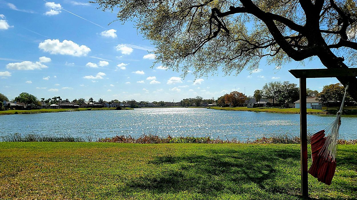
René and Allison Mawhiney live in Gulfport along Beach Boulevard, and if you know anything about Gulfport, you know it floods a lot and often at the intersection of Beach and Shore Boulevard. When Hurricane Idalia skirted by us last month, René and Allison said the water rose higher than they had ever seen it.
“So honestly, we got really lucky because the water didn’t make it in. Obviously, this is dry land and we’re about 3 feet up from the roadway and the water was right here. We could see the waves kind of licking underneath our fence here from our living room,” Allison said.
It was too close for comfort for them, but Dixon is heading up research locally to create an app that could help René, Allison and others like them get a better idea of how bad flooding can get before it gets that bad.
“It will allow community members to upload pictures of their backyards when it’s flooded and then, we take (that) data and we model and make maps,” said Dixon.
The web-based system will help residents help themselves by creating a database through an app that will eventually help predict when and where flooding will happen.
“So, we are going to actually collect the data. People will use the app to upload the flooding that they are experiencing in their neighborhood and in the backyards. It’s going to come to the computer to the center and then we’re going to use computer vision and AI to extract the water level,” said Dixon. “Then we’re going to incorporate them into the model, so we know in near real-time what areas are being inundated, flooded.”
For René and Allison, they say having that kind of information in an app would make them better prepared to protect their home.
“I think it would give us peace of mind. We woke up at 5 o’ clock in the morning wondering if we had made the wrong decision staying. That water got so close and once it’s too late, it’s too late,” René said.
Researchers said it will take two to three years before the app is developed and ready for use.