


I hope you didn't get used to Thursday's comfortable conditions, because warm temperatures and humidity returns to the forecast.
For your Friday, expect lots of sunshine (at least in southern Wisconsin), accompanied by temperatures in the 80s.
There is a cold front that's going to push through Wisconsin, ushering in a line of showers and storms that will be apparent in north-central and northeastern Wisconsin. As that line continues to track south, it'll lose a lot of steam, ultimately fizzling out before it hits our southernmost counties.
Heading into the weekend, we'll see a good amount of sunshine with the same warm highs in the 80s.
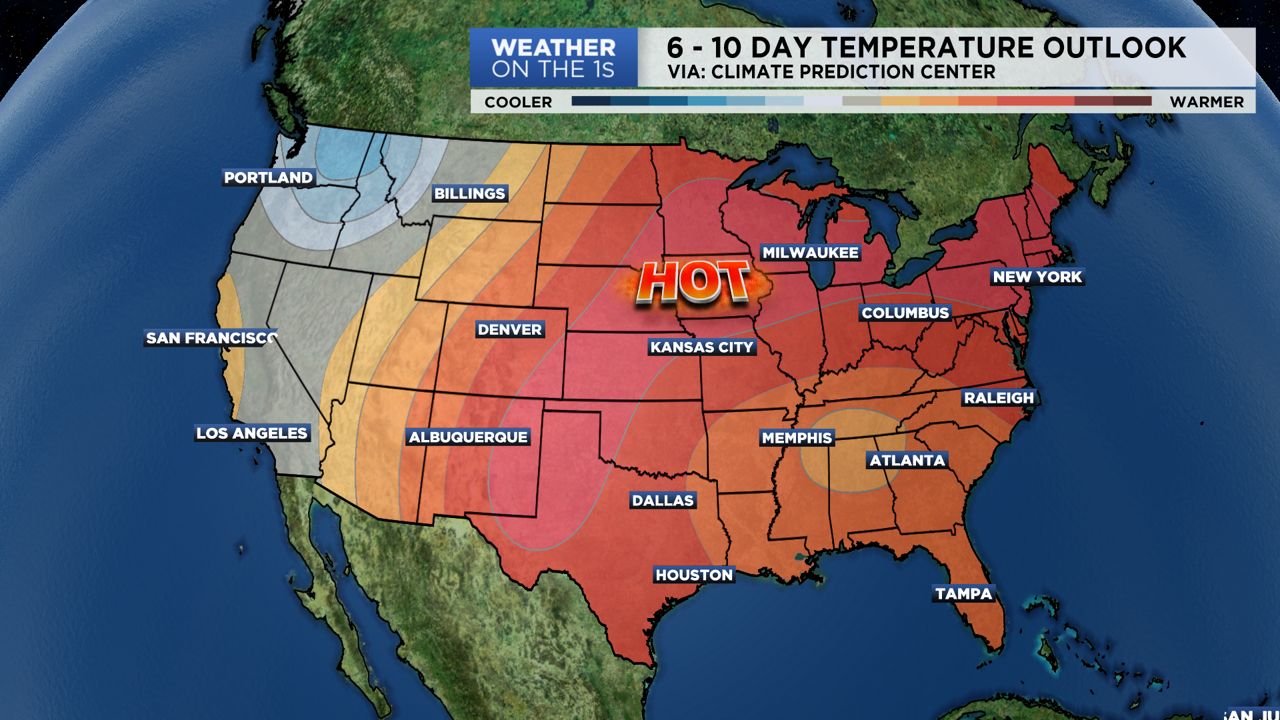
But just wait until next week, when temperatures will return to the 90s!
GREATER MILWAUKEE AREA FORECAST:
Friday: Mostly sunny and much warmer with a little more humidity. A stray shower/storm possible late tonight. | High: 84 | Wind: S 5-15mph
Saturday: Partly cloudy, warm and muggy. | Low: 70 | High: 82 | Wind: NE 5-15mph
Sunday: Mostly sunny, warm and humid. | Low: 64 | High: 82 | Wind: SE 5-15mph
Monday: Partly cloudy, hot and humid. | Low: 69 | High: 90
Tuesday: Partly cloudy, hot and humid. | Low: 72 | High: 90
Wednesday: Partly cloudy, still very warm and humid. An isolated t-storm cannot be ruled out. | Low: 74 | High: 88
Thursday: Partly cloudy, very warm and humid with a few thunderstorms possible. | Low: 72 | High: 90
Follow the "Weather On the 1s" Team on social media for the latest weather updates:
Chief Meteorologist JD Rudd: Facebook | Twitter
Meteorologist Kristin Ketchell: Facebook | Twitter | Instagram
Meteorologist Brooke Brighton: Facebook | Twitter | Instagram