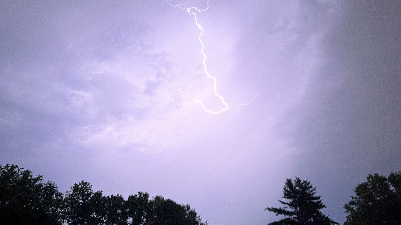
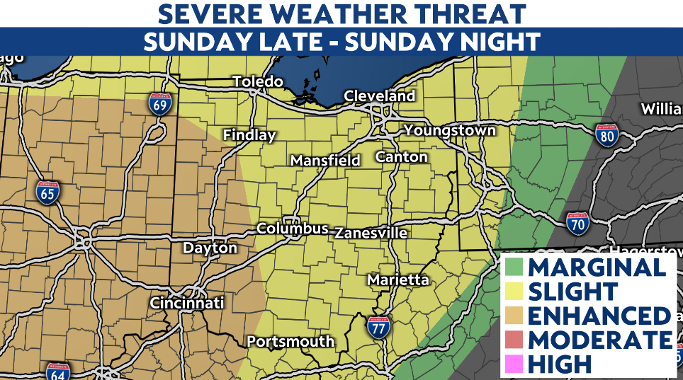
Showers early this afternoon showers are moving across northwestern Ohio. Isolated storms possible after 3-4 PM and stronger storms possible in western and central Ohio. If storms reach severe limits, pockets of heavy rain, gusty winds, and a few spin-up tornadoes are possible. Otherwise, it's mostly cloudy with warm and humid temperatures. Highs in the mid to upper 80s today.
The bulk of Barry arrives after midnight as waves of rain continue throughout Wednesday. We are looking at 1-2" of rain as some showers/storms could be slow moving.
Rain tapers off Wednesday night. After Barry, our attention shifts toward the heat. tracking the hottest heatwave this year. And in some cities this could be the hottest in a few years! Friday and Saturday especially as heat index values could be as high as 105-110 across the state.
Today –Muggy. Mostly cloudy, chance of showers and isolated storms. Some stronger storms in western Ohio possible. Highs in the mid to upper 80s.
Wednesday –Barry rain. Wet Wednesday with on/off showers, few storms. Heavy at times. Highs in the low 80s.
Thursday –Barry exits, and the heatwave builds in from the west. Temperatures soar near 90, to mid 90s. Heat index values range from mid 90s to 100+.
Friday –Hotter conditions. Highs in the low to upper 90s. Feels like temperatures over 100, could be up to 110!
Saturday –Dangerous heat and humidity continues...heat index values could up to 110 again.
Sunday –Heat wave continues. Highs in the lower and middle 90s. Scattered storms possible.


