


*An excessive heat warning is in effect fthrough 6 pm Saturday for Orleans, Monroe, Wayne, northern Cayuga, Livingston, and Ontario counties.
*An excessive heat warning is in effect through 8 pm Saturday for Yates, Seneca, and southern Cayuga counties.
*A heat advisory is in effect through 6 pm Saturday for Wyoming and Genesee counties.
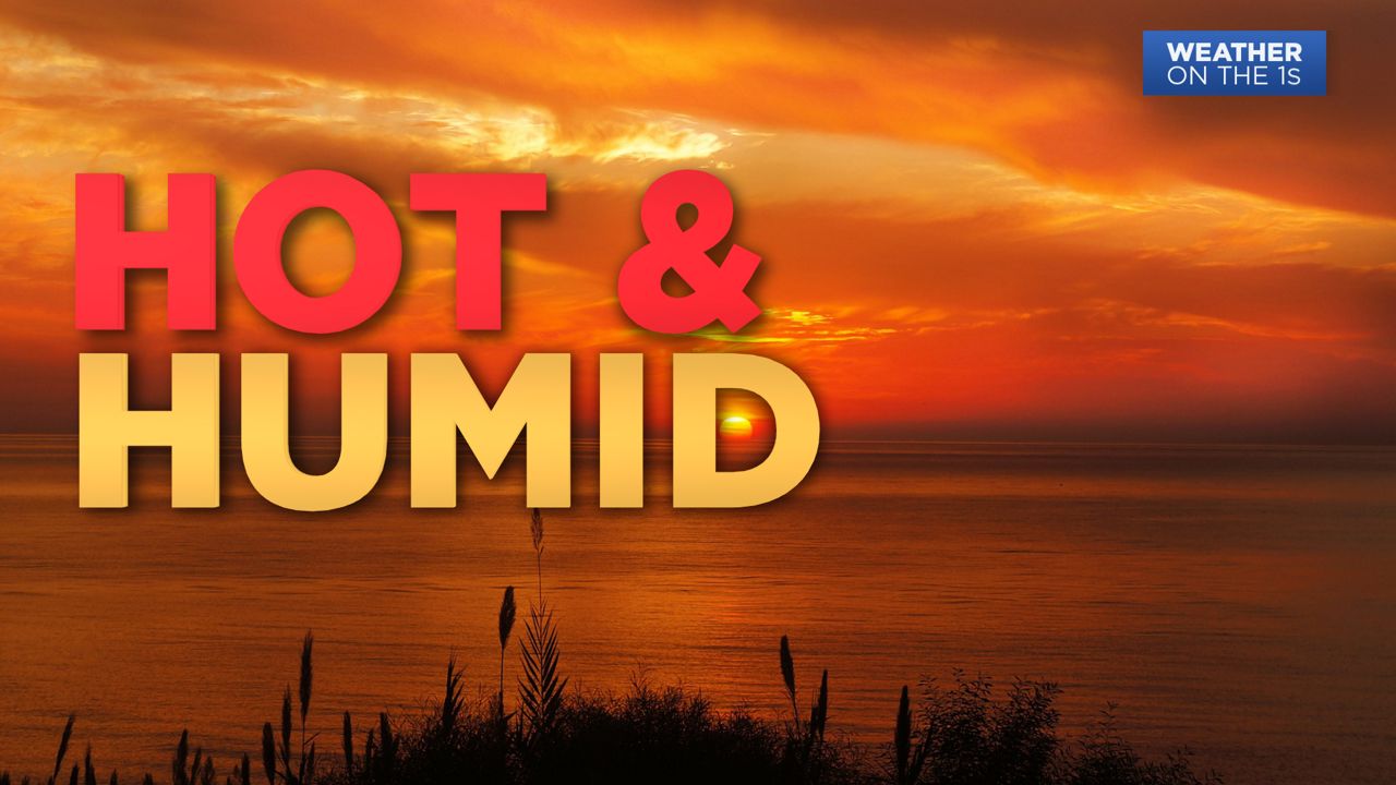
Showers and storms will be sprinkled throughout Western NY for the remainder of the daylight hours. At times these will turn heavy in nature and may even produce hail, strong wind gusts and a small tornado cannot be rules out. Once those storms die down a more widespread, light rain is possible tonight especially south of Rochester. Excessive Heat Warnings remain in effect for Monroe, Wayne, Ontario, Livingston, and Yates counties through Saturday. Heat advisories are in effect elsewhere across WNY. Tonight, it will stay very mild with temperatures dropping only into the 70s again. In addition, humidity will be sticking around making for lasting muggy conditions.
Saturday, temperatures will again be in the low 90s for most of us and dew points still in the 70s. This heat could become dangerous at times and easily the most intense day of the warm stretch of weather we've had. The sun will break out in the afternoon, once we get through a couple of morning showers/clouds. Be sure to have a water bottle on hand, sunglasses and sunscreen ready and a place to cool down.
A cold front will move through Saturday evening into Sunday which will bring showers and storms to the area, mainly after 8:00 PM. These have the potential to be severe, so we will be monitoring closely. Temperatures behind this front will be a little cooler topping out in the low 80s. It will also be slightly less humid.
Next week will be beautiful and primarily dry with temperatures in the upper 70s and low 80 with much lower humidity.

-1)