ORLANDO, Fla. — Clouds and scattered showers have returned to Central Florida, with highs back in the upper 70s and low 80s.
- Rain chances remain high through the weekend
- Highs to stay in the upper 70s to low 80s
- RELATED: Weather FAQ: What's the difference between a watch and a warning?
- Send us your weather photos and get the latest forecast via the Spectrum News 13 app
- CURRENT CONDITIONS: Temperatures, heat indexes, trends
- SEE BELOW: See our 7-day forecast ▼
Scattered showers will remain possible this evening, with warm temps in the 60s. The rain chances will continue overnight, with lows in the mid to upper 60s.
Rain chances march on heading into the weekend. The tropical moisture will remain in place on Saturday, resulting in scattered showers. Just like Friday, it will not be widespread, but activity may develop at any points during the day. Highs for Saturday will be in the mid to upper 70s.
- View LIVE Interactive StormTracker 13 Radar Map
- View our LIVE Sky 13 Weather Cameras
- Sign up for Severe Weather Alerts
Sunday will also feature clouds and scattered showers. The southeast winds will continue, pushing more moisture into the area. Highs for Sunday will be in the upper 70s and low 80s.
A cold front arrives on Monday, changing our weather pattern. The front will push through the area during the day, sparking scattered showers as it moves through. Highs for Monday will be in the mid to upper 70s.
Drier weather does return just in time for New Year’s Eve. Partly cloudy skies are expected to close 2019, with cooler highs in the low to mid 70s. It will be cooler for New Year’s Eve festivities, with temps falling into the 50s by midnight.
We start 2020 on a cool and comfortable note. Mostly sunny to partly cloudy skies are expected for New Year’s Day, with dry conditions. Highs for Wednesday will be in the upper 60s and low 70s.
Rain chances will return late next week as more moisture returns to Central Florida.
Boating and Surf Forecast
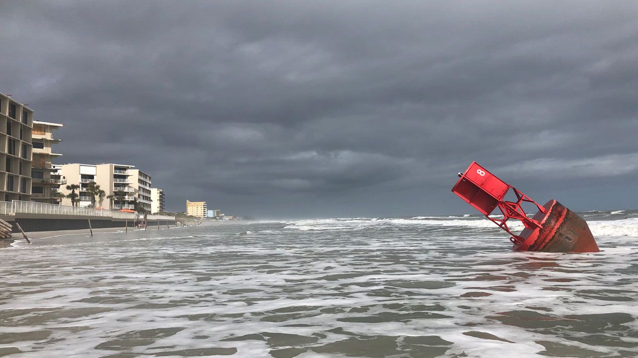
Boaters will finally have fair conditions on Saturday, with seas 3-5 feet and a light southeasterly wind. Surfers will again find poor-to-fair conditions, with an easterly swell.
The rip current threat will be moderate-to-high on Saturday, and swimmers should stay very close to the lifeguard station.

We want your pictures!
Show us what the weather looks like in your neighborhood. Your photo could end up on Spectrum News 13.
- Get the Spectrum News 13 app for iOS or Android
- Tap "Submit Content" at the bottom of the app menu
- Remember to include your name and location