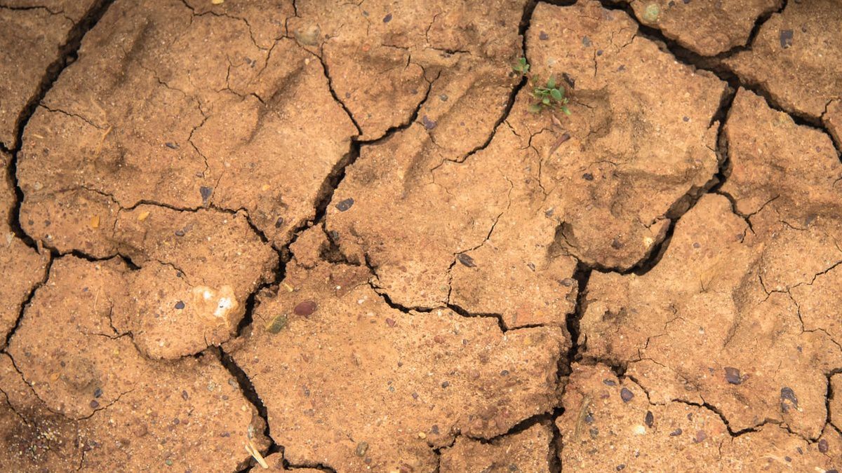
KENTUCKY — Prolonged periods of dry conditions over the last couple of months have finally lead to areas of concern in Kentucky.
What is the Drought Monitor?
The United States Drought monitor, created by the National Drought Mitigation Center, National Oceanic and Atmospheric Administration (NOAA), and the United States Department of Agriculture, is a map of data showing areas of the country which are experiencing drought-like conditions. New data is provided every Thursday, and includes all precipitation up through the previous Tuesday.
Current Situation in Kentucky
The latest Drought Monitor, from June 16, indicates Abnormally Dry conditions across portions of Kentucky. The largest area exists across western portions of the Commonwealth. Under this classification, these areas are beginning to go into a drought. The effects of this short-term dryness are slowing growth of crops or planting.

This dryness can be seen when looking at rainfall deficits compared to average since May 1st. Eastern Kentucky, from I-75 and west, has seen a surplus of up to 2 inches. Western Kentucky is behind by as much as 4 inches in some areas.

Outlook
Thankfully, looking ahead to the rest of June and early July, model data is pointing to near to slightly above average rainfall across Kentucky.