Tropical activity is typically still slow as we head into the official second month of the season. The National Hurricane Center only names, on average, one July storm per season.
Even though the month is usually quiet, it doesn’t mean we haven’t seen strong storms in the past.
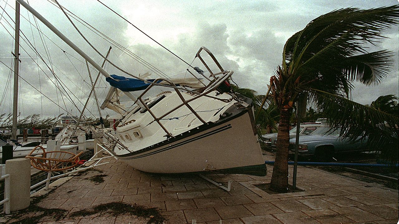
Let’s take a look back at hurricanes that caused major damage during this time of the year.
Hurricane Hanna 2020: Our first hurricane takes us to the recent year 2020. Hanna first received its name on July 23 when it strengthened from a tropical depression into a tropical storm.
It continued to strengthen into a hurricane, then made landfall along Padre Island, Texas on July 25.
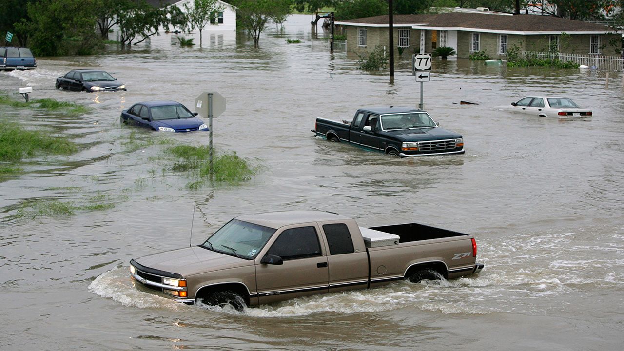
Hanna brought storm surge, intense rainfall and flash flooding. Several EF0 tornadoes formed from the storms. Hanna also destroyed several mobile homes, and floodwaters from the hurricane inundated many low-lying areas.
In the end, Hanna caused 1.1 billion dollars in damages and indirectly caused 5 deaths. This came only 3 years after Hurricane Harvey devastated the Texas coast.
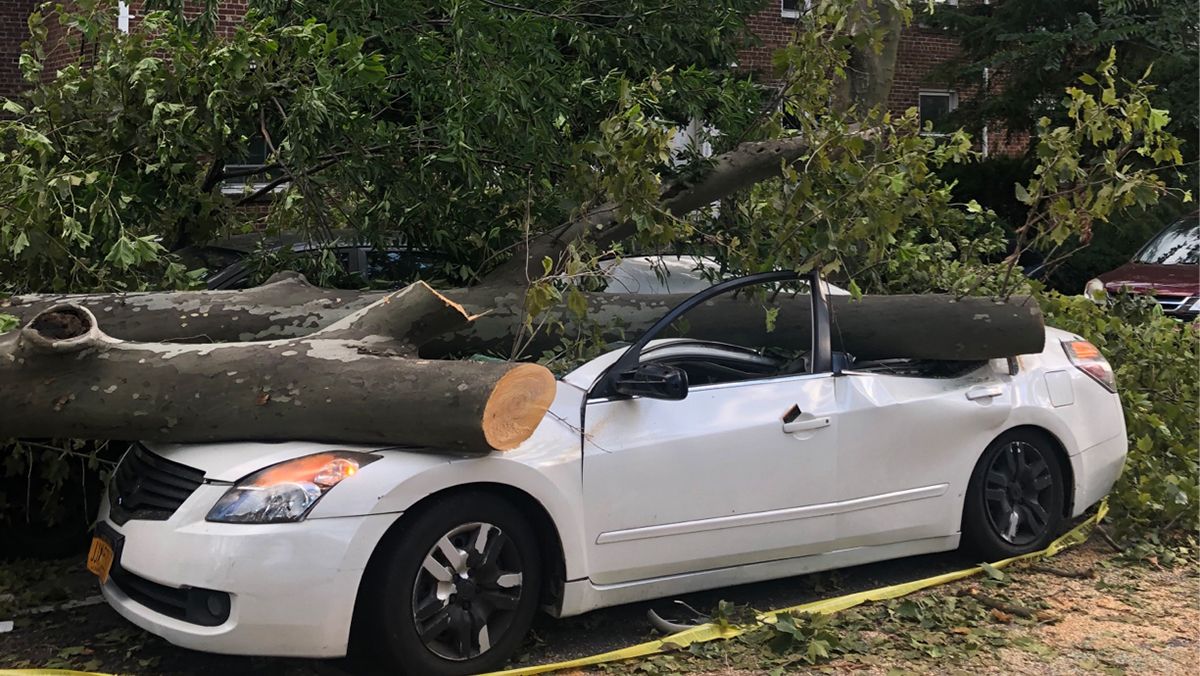
Hurricane Isaias in 2020: Isaias became a tropical storm in the south-central Atlantic on July 29. It continued northwest and made its first landfall in the Dominican Republic on July 30. It made its second landfall on Aug. 1 on Andros Island in the Bahamas as a Category 1 hurricane.
Wind shear helped weaken the storm as it continued north off the east coast of Florida. As Isaias moved closer to the Carolinas, it became a Category 1 hurricane again before making its third landfall on Ocean Isle Beach, N.C. on Aug. 3.
Isaias brought devastating impacts to the U.S., triggering a tornado outbreak of 39 tornadoes from the Carolinas to Connecticut. The most powerful one, an EF3 in Bertie County, N.C., destroyed several mobile homes, killing two people and injuring 14.
Storm surge along the South Carolina coast destroyed 483 homes in Myrtle Beach.
As Isaias moved into the Northeast, strong winds, tornadoes and significant rain led to damaged homes and several fatalities.
The peak of the storm left about 3 million people without power.
Overall, there were 14 deaths in the U.S., and the Northeast saw about 3.5 billion dollars in damage, making it the costliest tropical cyclone to strike the region since Hurricane Sandy in 2012.
Hurricane Barry 2019: Hurricane Barry was an atypical storm from its inception. Unlike most tropical systems, Barry originated as a complex of thunderstorms over the Midwest before moving south into the Gulf of Mexico. It was there that it strengthened into a hurricane, becoming the first of the 2019 Atlantic hurricane season.
On July 13, Barry reached land in south-central Louisiana as a category 1 hurricane and caused significant rainfall. Ragley, Louisiana saw 23.58 inches of rain.
In Dierks, Arkansas, Barry dropped 16.59 inches of rain, making it the most rain associated with a tropical system in the state’s history.
Overall, flooding was the biggest threat. Numerous people had to be rescued from flood waters and homes experienced major flooding. The damage was estimated to be at $600 million.
One interesting note is that Barry never took on the classic circular look of a hurricane and was asymmetrical throughout its entire life.
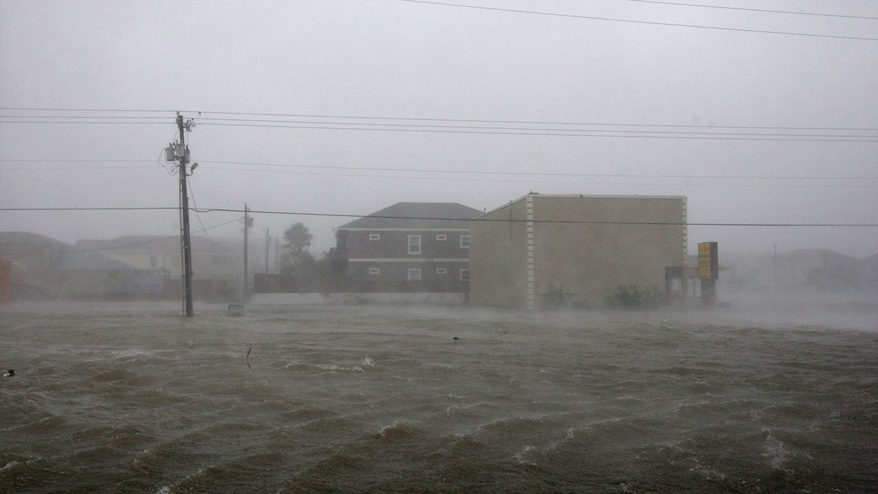
Hurricane Dolly 2008: Next, we head to 2008, where Hurricane Dolly made a huge impact across Texas and New Mexico.
At its strongest, Dolly became a category 2 hurricane before weakening to a category 1 hurricane and making landfall in South Padre Island, Texas, on July 23.
The effects of the storm were devastating, with damage estimated at $1.3 billion.
Over 16 inches of rain fell in parts of Texas, causing flash flooding and major flooding for many cities.
The rain continued to stream in and reached parts of New Mexico where rivers flooded and over 500 people had to be rescued.
Interestingly, Dolly skipped the tropical depression phase, developing with tropical storm force winds, showing that not all tropical systems start as a cluster of basic thunderstorms.
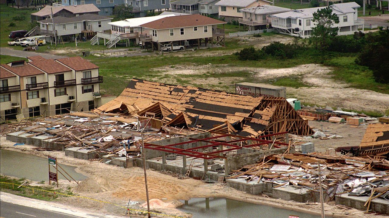
Hurricane Danny 1997: Hurricane Danny was a moisture-packed hurricane that made landfall in the United States during the 1997 Atlantic hurricane season.
Danny formed from a non-tropical system south of Louisiana in the Gulf of Mexico on July 16 before becoming tropical by July 17. It strengthened into a category 1 hurricane in the Gulf of Mexico before making landfall on July 18 near Buras, Louisiana. Danny then moved back into the gulf waters, strengthening back into a Category 1 hurricane before making a second landfall near Mullet Point, Alabama, a day later.
This was a slow-moving system that was able to stream copious amounts of moisture into it from the Gulf of Mexico. An estimated 36.71 inches of rain fell on Dauphin Island within 7 hours.
Record flooding caused major damage to homes, making many roads impassable.
Several tornadoes touched down and caused extensive damage.
Danny ended up causing $100 million worth of damage and took the lives of nine people.
It was the only hurricane to make landfall in the United States that year, but left quite an impression.
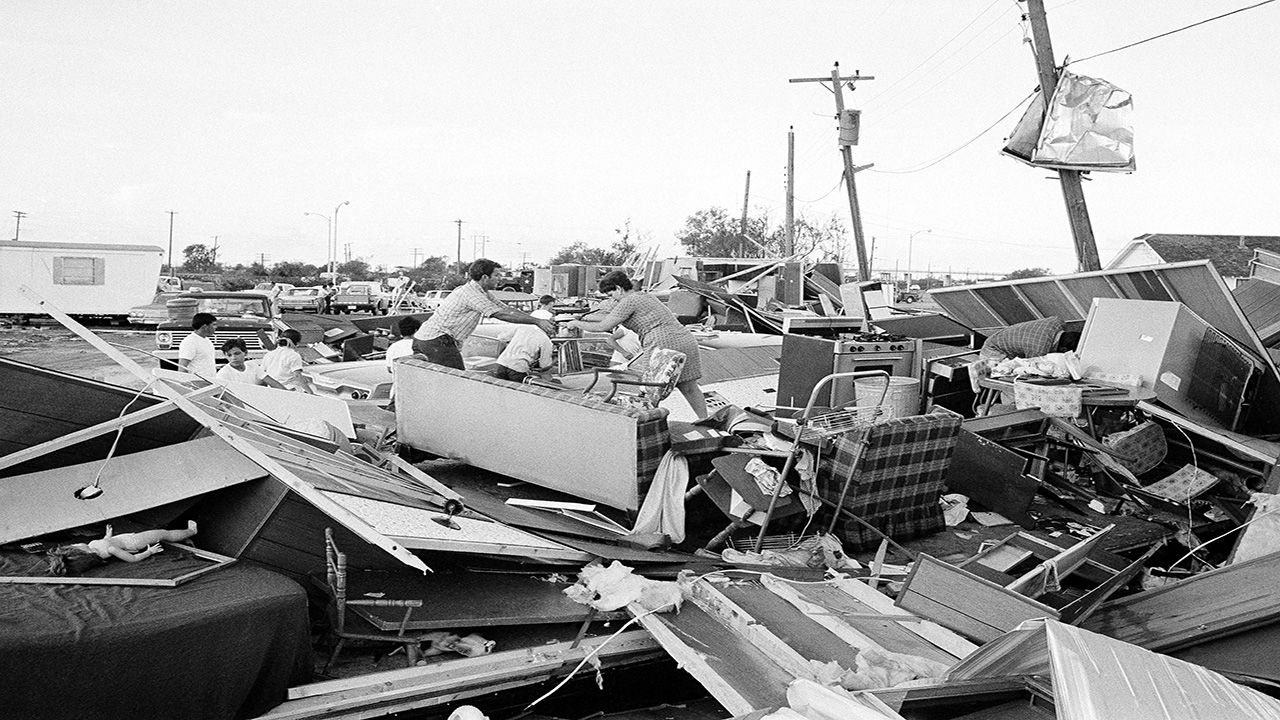
Hurricane Celia 1970: The strongest storm on our list is Hurricane Celia, which was the first major hurricane of the 1970 Atlantic hurricane season.
Celia first formed on July 31 in the western Caribbean Sea and tracked northwest, where it rapidly intensified into a category 3 hurricane in the Gulf of Mexico. Rough seas bashed against the west coast of Florida, causing eight people to drown.
The hurricane continued to track west and finally made landfall near Corpus Christi, Texas on Aug. 3.
Winds were the main cause of destruction with Celia.
Wind gusts reached 180 mph for numerous cities, and tens of thousands of homes were damaged or destroyed. Over 450 injuries were reported, and 28 people total lost their lives.
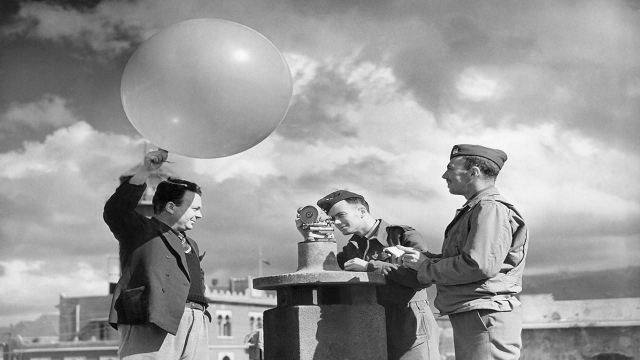
Hurricane One in 1943: Our last stop takes us to the 1943 Atlantic hurricane season when Hurricane One hit the coast of Texas.
This was the first hurricane that the now infamous Hurricane Hunters flew into to gather data. It was done on a dare, but done successfully, and forever changed how hurricanes were studied.
This hurricane was also known as the “Surprise Hurricane”.
During this time, meteorologists used radar and weather balloons to track weather activity on land. To track tropical activity off land, meteorologists almost completely relied on reports from ships at sea for tropical activity data.
Because German boat activity was expected in the Gulf of Mexico, all ship radio broadcasts were silenced, including weather reports.
Since information could not be relayed ahead of time, many people were unprepared for this hurricane.
Hurricane One made landfall near the Houston and Galveston area on July 27 area where it brought wind gusts over 130 mph.
Water was waist-deep throughout many cities. This led to hundreds of people being injured and various buildings being destroyed. 19 people were killed.
After this hurricane, advisories were never censored from the public again. It was a lesson learned.
As we go through July, remember we are only about a third of the way through the Atlantic hurricane season. Activity doesn’t peak until mid-August to late October.
Be fully prepared. Have a hurricane kit, and plan to be ready all season long.
Our team of meteorologists dives deep into the science of weather and breaks down timely weather data and information. To view more weather and climate stories, check out our weather blogs section.
Shelly Lindblade - Weather Producer
Shelly Lindblade is a weather producer for Spectrum News. She graduated from Florida State University with a Bachelor's of Science in Meteorology and started her career in front of the camera as a broadcast meteorologist. After 4 years of TV broadcasting, she now loves updating the public on the latest weather news from behind the scenes.


