Afternoon thunderstorms are common in July, but the amount of rainfall we received from them was not.
For most of central Florida, rainfall totals for the month of July came in above average. In fact, both Melbourne and Daytona Beach came in several inches higher.
While the Orlando International Airport’s totals were just below average, there were still 23 days out of the month the city recorded measurable rain. Just north of MCO, the Orlando Executive Airport received over 10 inches of rain, ending the month close to four inches above average.
What’s interesting is that there was not one particular factor that drove the numbers up. The highest rainfall day in Orlando was on July 14th, while Melbourne’s rainiest day was July 5th.
Typically, when we discuss high rainfall amounts, it’s due to a tropical system or front. This time, we only dealt with afternoon sea breeze storms.
The same should be expected for the month of August. Both Orlando and Melbourne typically receive over seven inches of rain during the month, while Daytona Beach usually sees around 6.5 inches.
Even though the rain made it seem a bit gloomy at times, it did help to keep temperatures right where they should be. The average high temperature in Orlando ended right at 92 degrees, which is directly in line with expectations for this time of year.
Same goes for Daytona Beach and Melbourne. Average for the month ended at 90 degrees, which is typical along the coast. The hottest temperature recorded for the month occurred on July 14th in Sanford with a high of 97 degrees.
Of course, the high humidity all month did make it feel much hotter at times! This is one disadvantage of being centered between two bodies of water.
The amount of daylight during August drops an hour and fifteen minutes from sunrise to sunset. This would typically mean temperatures don’t have as much time to heat up.
August in Florida, however, stays hot. Average high temperatures will stay around 90 degrees.
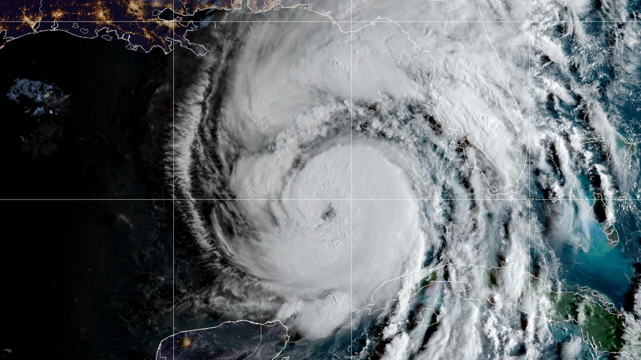
The tropics really ramped up during July as well with five named storms. This ties 2005 for the most named storms in the month of July.
Not only that, but all five storms, Edouard, Fay, Gonzalo, Hanna, and Isaias were the earliest fifth, sixth, seventh, eighth and ninth named storms on record. As we head into August, this is when we usually see tropical activity ramp.
On average, 27 percent of the named storms in an entire hurricane season occur in August.
So even though we are switching months, expect a lot of the same to continue for August. Bigger changes to Central Florida’s weather won’t occur until the fall.