You’ve probably heard of the eye of a hurricane, but that’s just one small part of one of the world’s most powerful weather phenomena.
Let’s start from the outside of the hurricane and move in.
Feeder Bands
These first tangible signs that a hurricane is approaching might come out of the blue.
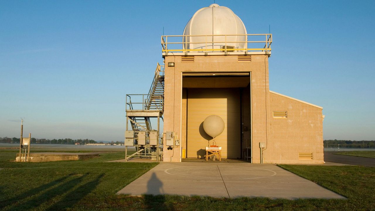
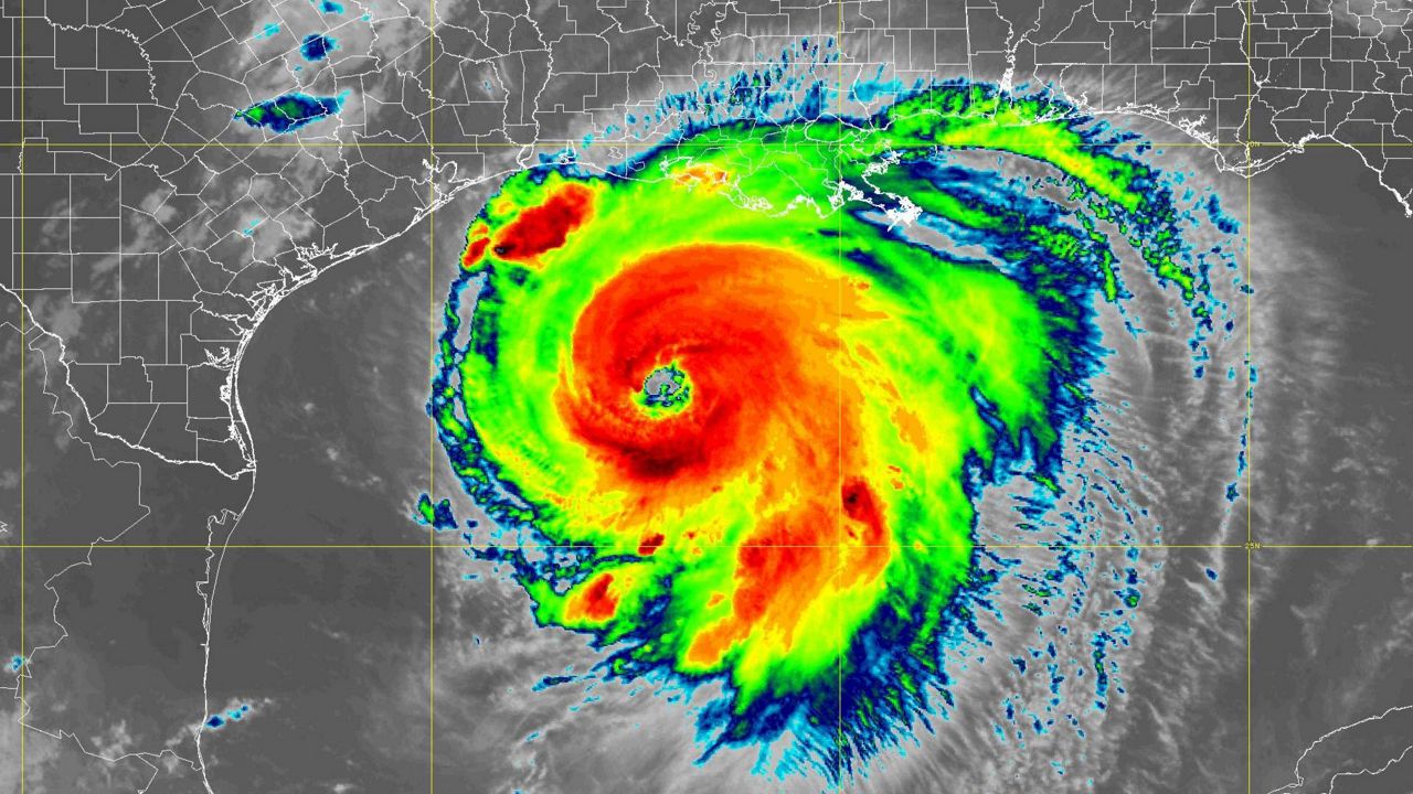
On a satellite picture or a radar loop, feeder bands might look like rather innocent narrow strips of light rain. But, these outer bands of a hurricane can pack quite the punch.
These lines of storms extend outward from the center of a hurricane.
Feeder bands can produce torrential short-lived downpours and gusty winds. Because they’re on the outer fringes of the hurricane, though, there’s often calm or perhaps even sunny weather directly ahead of and behind a feeder band.
Feeder bands can also be prolific tornado producers, especially if they’re on the right-hand side of the hurricane (more on that shortly). The added spin on the outer fringes makes spin-ups more likely in those areas of a hurricane.
If you’re ahead of the heart of the hurricane, a feeder band is usually the first warning sign of the exceptionally bad weather that could be lurking just around the corner.
Right Front Quadrant
The top right side of the hurricane is usually the strongest quadrant.

The motion of a cyclone, at least in the Northern Hemisphere, makes this part of the hurricane the side that gets the forward rotational motion. That usually increases winds at the surface, storm surge, and boosts rainfall amounts.
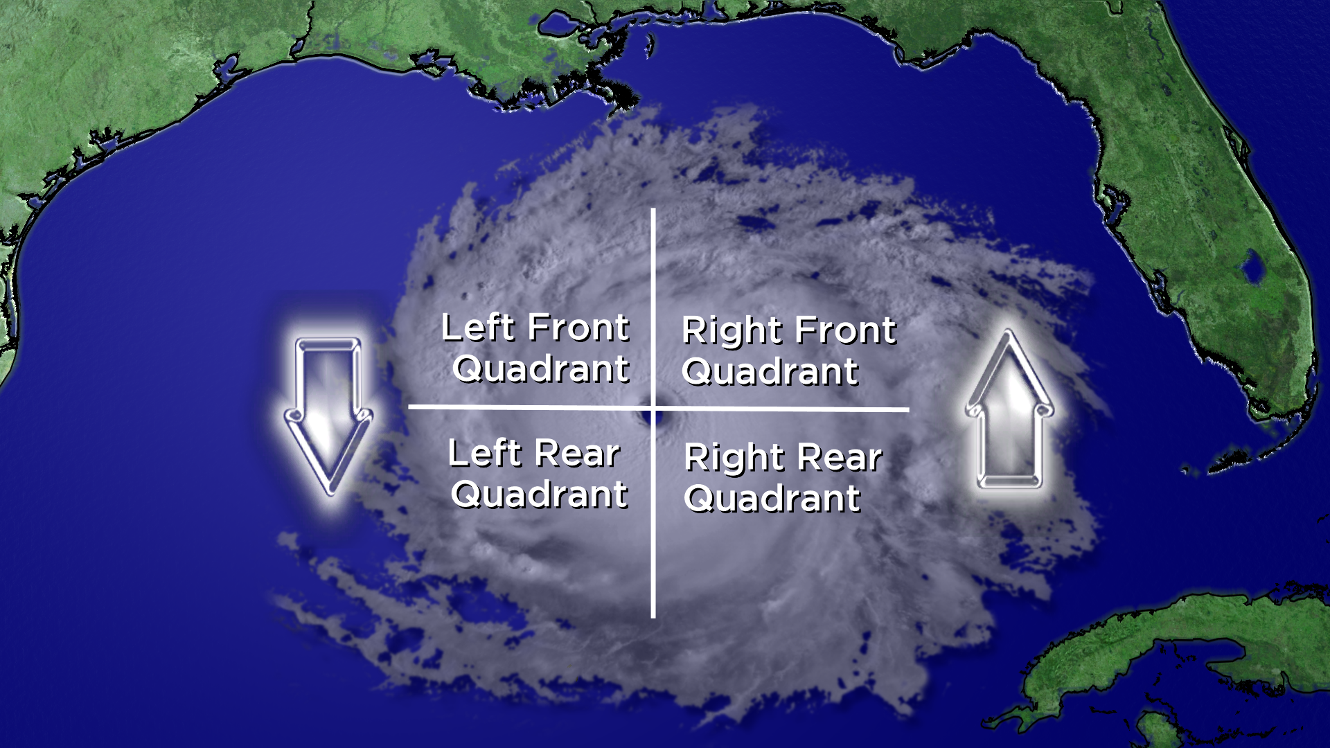
As a result, areas just east of the center of a hurricane often feel the worst of a hurricane’s wrath. As mentioned ealrier, feeder bands that spiral in this portion of a hurricane are usually more likely to produce tornadoes.
The extra forward push in this part of the hurricane increases rotation and boosts rainfall amounts, making the right front quadrant the most dangerous corner of a hurricane.
Eyewall
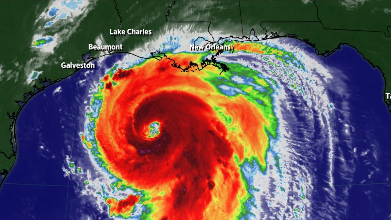
While the impacts from a hurricane can be all-encompassing, the worst of a hurricane’s winds are usually concentrated in the narrow ring around a hurricane’s center known as the eyewall.
The eyewall of a hurricane is usually home to its strongest winds and storm surge, though the latter depends in large part on a hurricane’s exact motion and a coastline’s geography.
Because of the added rotational push on the east side of the hurricane, the northern and eastern sides of the eyewall are typically the strongest portion of it. That’s usually where the strongest sustained wind speeds and gusts will be found over the entire span of a hurricane.
Eye

The center of the hurricane, the eye is typically cloud-less and tiny, usually no wider than 50 miles in diameter.
For all the advances in modern science, however, the formation of an eye of a hurricane remains somewhat of a mystery. Inside the eye of a stronger hurricane, though, the weather is often typically calm, an ironic juxtaposition with the violence of the surrounding eyewall.
What is also well-known is that a clear eye is an essential part of a stronger hurricane. The eye is also home to its lowest pressure value.
A clouded-over or ragged eye, however, is usually a sign of a weaker hurricane.
Also, the more symmetrical and concentric that a hurricane’s eye may be, the stronger it typically is as well.
While the eye of a hurricane might be calm, the sheer presence of one in a hurricane is usually a sign that it means serious business.