Heavy rain, snowmelt, and strong winds have come to an end across the northeast.
With dry conditions now in place, rivers will continue to recede over the next few days.
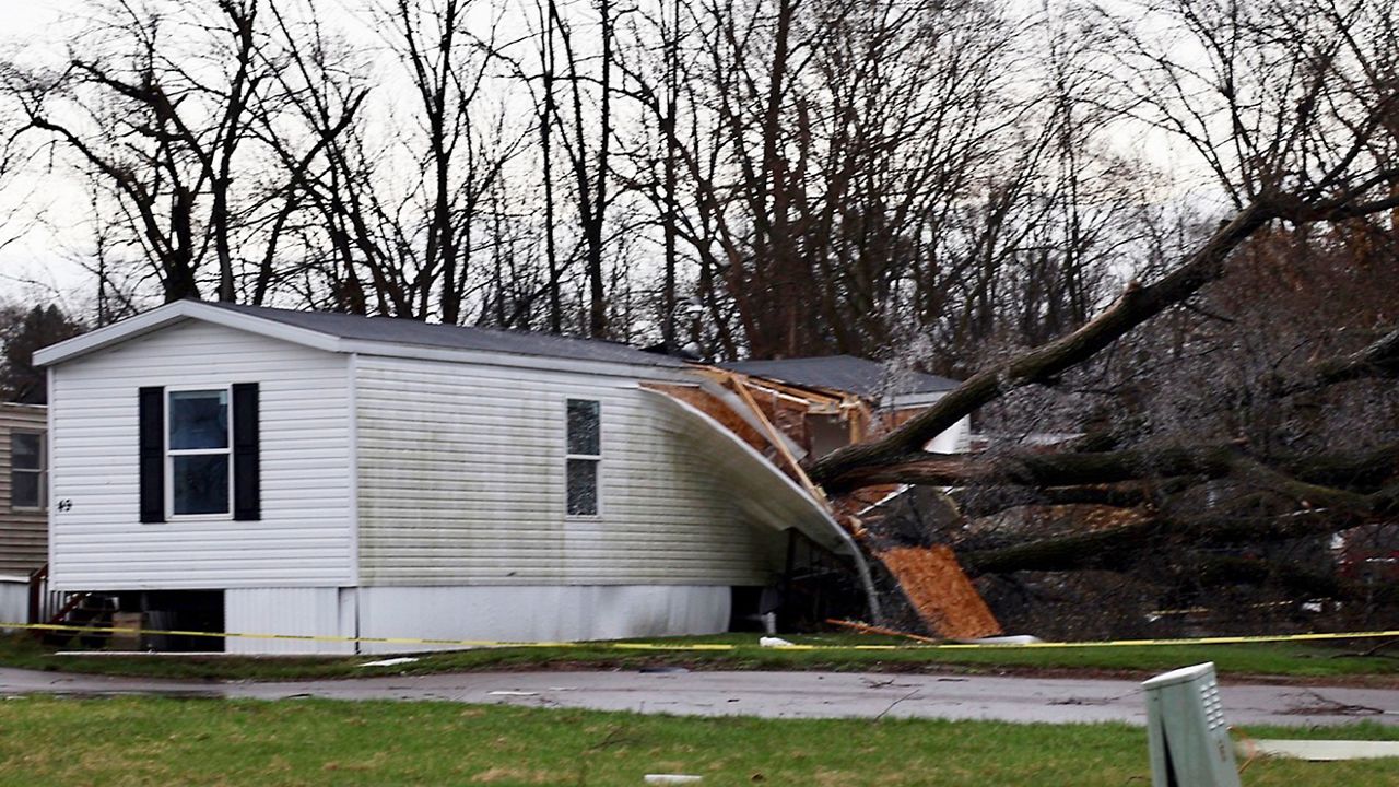
A combination of several inches of rain and snowmelt led to widespread river flooding across the Northeast for Christmas Day.
Temperatures soaring into the 50s and 60s ahead of the sharp cold front pumped in plenty of Atlantic and Gulf of Mexico moisture. Warmer air can hold more moisture, so warmer temperatures help boost rainfall totals.
Meanwhile, the cold front also helped to 'squeeze' out moisture. The clash of very mild air ahead of the front colliding with bitterly cold air behind it forced the air to rapidly rise and condense out heavy rainfall.
Check out some of the rainfall totals from the event:
- Tannerville, NY: 4.94 inches
- Freehold, NY: 4.59 inches
- Ringtown, PA: 3.79 inches
- Unity, NH: 3.0 inches
- Raleigh, NC: 1.62 inches
- Lanesborough, MA: 1.08 inches
Of course, many of the areas that saw high rainfall totals also saw several inches of snow just a week ago.
That combination of heavy rain and snowmelt set up the potential for significant flooding along rivers and streams in the Northeast.
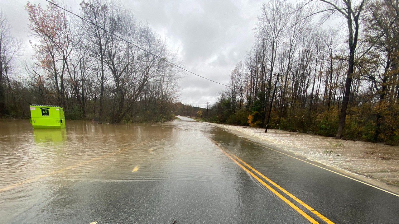
Flood warnings are still in place across the northeast, but our rivers are no longer in the major flooding stages. Most rivers are in the moderate stage or lower and will continue to recede through today and tomorrow.
Nonetheless, if you come across a flooded roadway, make sure to turn around. You never know how deep the water is and if the roads are damaged below the water.