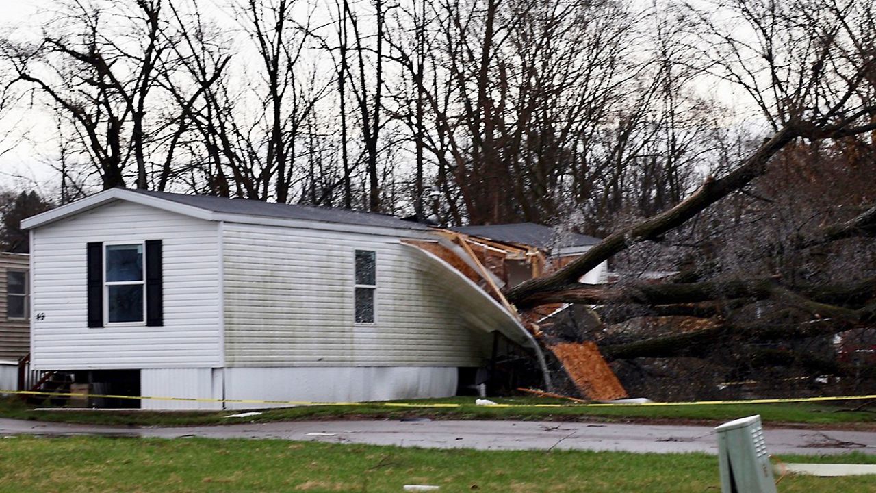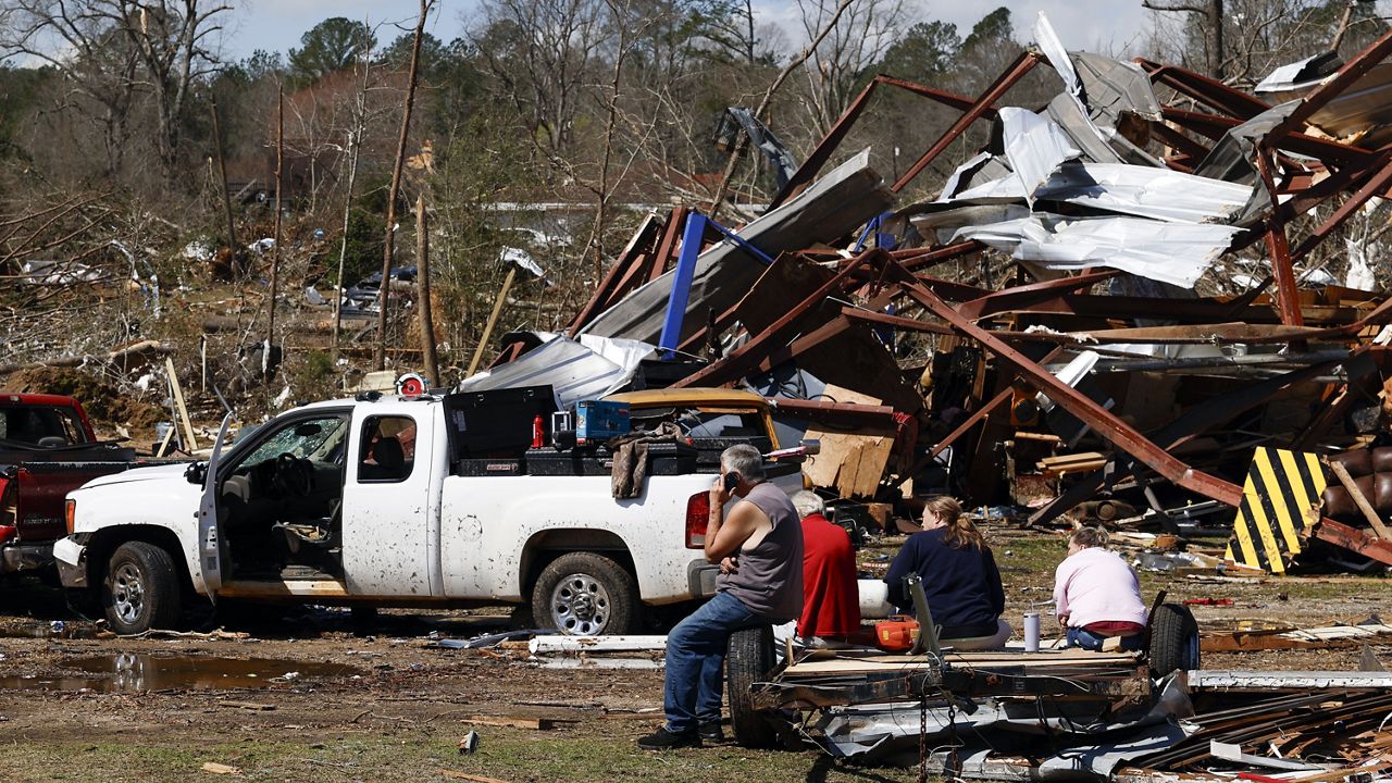
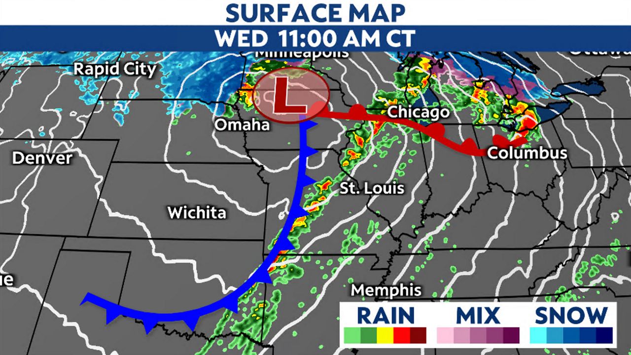
A large cold front will cross the St. Louis area Wednesday afternoon, bringing the chance for showers and thunderstorms. Some of those storms could become severe, producing tornadoes, damaging winds and large hail.
Another round of active weather will impact the St. Louis area midweek. The big cold front will cross the region Wednesday afternoon, triggering showers and thunderstorms. Some storms could become strong to severe, producing tornadoes, damaging winds and hail.
A cold front will cross the Show-Me State today bringing the potential for severe thunderstorms. The main threats in the St. Louis area include damaging winds, large hail and tornadoes.
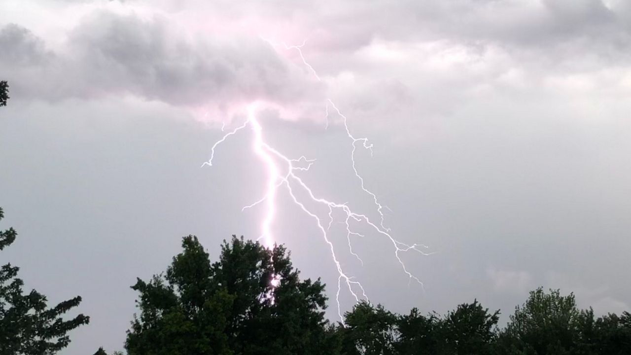
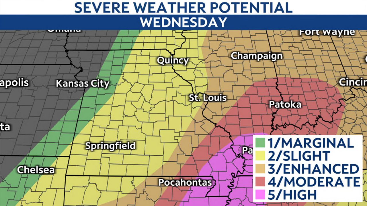
The Storm Prediction Center has issued a level 2/5 and a level 3/5 severe threat for the region on Wednesday afternoon. Strong to severe storms could produce tornadoes, damaging winds and large hail.
However, the threat is contingent on how quickly the entire line of storms arrives in the St. Louis metro area. If the line slows down and the storms arrive later in the day, there will be more instability for restrengthening. If they move through quicker, then the better available energy will be east of the Mississippi River.
Storms will progress from western Missouri this morning. As they move into central Missouri, they will weaken and the entire line will slow down.
Will the line restrengthen before it enters the St. Louis metro? That’s where some uncertainty exists. The better ingredients for severe storms exist east of the Mississippi River, the eastern portion of our viewing area.
However, if storms along the front redevelop faster, severe thunderstorms could develop. Storms could produce damaging winds, hail and even a few tornadoes. The timing looks to be after 1 p.m. until about 5 p.m.
Note, while there is the potential for a storm to produce severe weather, not everyone will see tornadoes, large hail and damaging winds. However, it’s important to prepare ahead of time and make sure you have your weather notifications enabled.
Cooler air will move into the St. Louis metro area behind the cold front. Highs on Thursday will only reach the upper 50s to lower 60s.
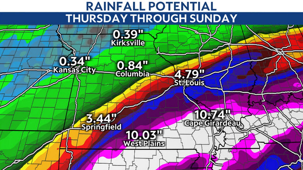
Wednesday's front stalls just south of the area on Thursday. Waves of low pressure will ride along this front, enhancing the moisture.
This will bring the potential for more wet weather late week into the weekend, but no severe weather is expected. Early model indications of rainfall exceeding 5 inches in the metro is possible, but there is a sharp cutoff between the big totals and much less rain.
We will continue to monitor this over the next few days and update as necessary.
Our team of meteorologists dives deep into the science of weather and breaks down timely weather data and information. To view more weather and climate stories, check out our weather blogs section.