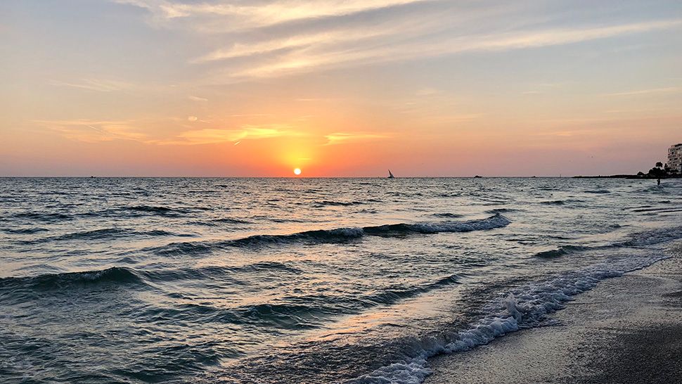
ST. PETERSBURG, Fla. — Clear skies continue through tonight.
- Light winds
- Low humidity
- Warming trend
- SEE BELOW: See our 7-day forecast ▼
It will be a little warmer overnight again, with lows near 60 north to upper 60s for Tampa Bay. There may be some patchy fog by Monday morning.
An upper level ridge of high pressure will build in over Florida over the next couple days.
This will continue the warming trend. It also means little chance for rain.
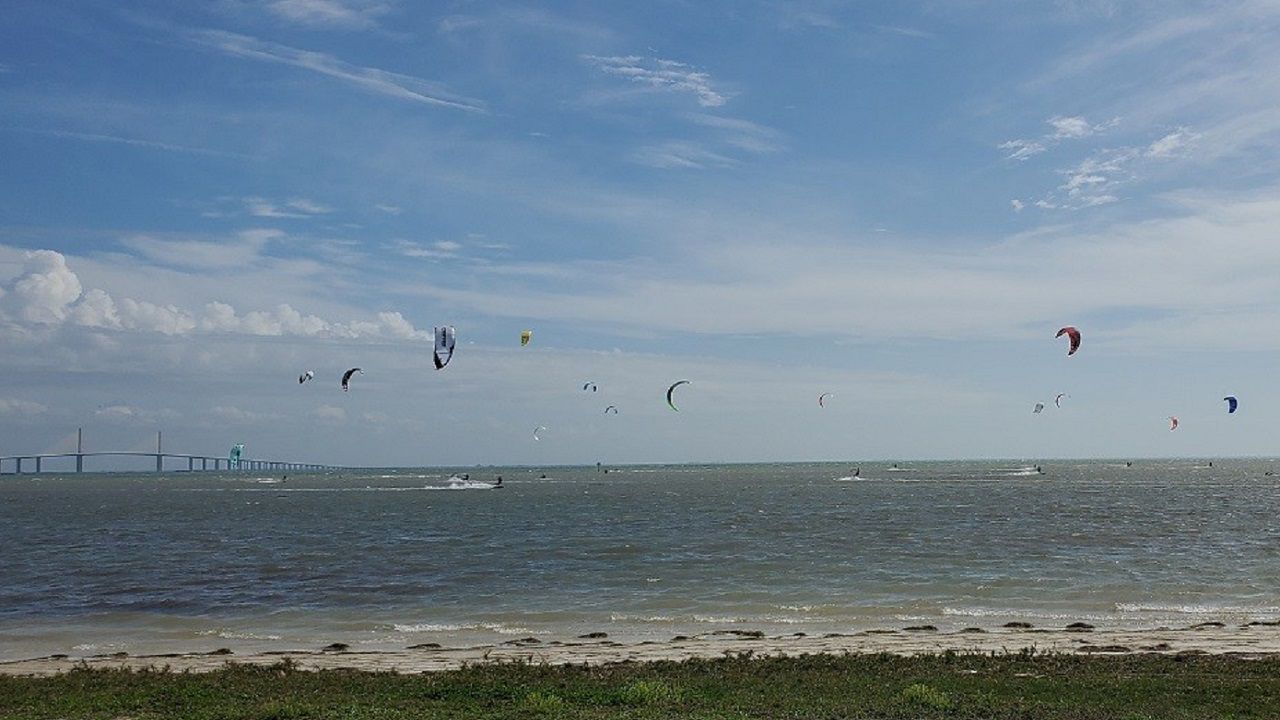
On Monday, skies will be mostly sunny. Light east winds keep our side of the state warmer than the east coast. Highs will make it to near 90. We will get a sea breeze, but it will not make much progress inland, so many areas will be hot.
- WEATHER ON THE GO: Download the Spectrum Bay News 9 app and get Klystron 9 alerts wherever you are
- GET WEATHER ALERTS: Sign up to receive weather text alerts from Spectrum Bay News 9
- Klystron 9 | 7-Day forecast | Tampa Bay-area temperatures | Travel weather
East winds will continue across the area through the work week. A sea breeze will form, but will stay near the coast, so high temperatures will be in the upper 80s to around 90, except for at the beaches.
Some isolated afternoon showers or storms will be possible along the sea breeze on Thursday as low level moisture slowly increases across the area.
On Friday, more moisture moves in, so the coverage of rain will increase. There will be more showers and storms forming on the sea breeze in the afternoon. Temperatures will stay above normal through the end of the work week.
Showers and storms may return for Saturday afternoon with the sea breeze.
7-day forecast

We want your pictures!
Show us what the weather looks like in your neighborhood. Your photo could end up on Spectrum Bay News 9.
- Get the Spectrum Bay News 9 app for iOS or Android
- Tap "Submit Content" at the bottom of the app menu
- Remember to include your name and location