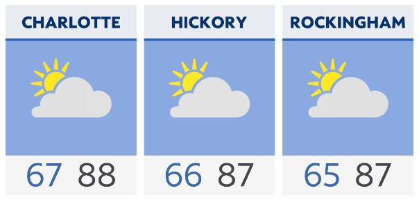
It'll be mild and humid for the overnight hours with a mix of clouds in play. Saturday will be warm once more with partly cloudy conditions.
Shower and storm chances will arrive in the mountains during the day Sunday and work eastward from there later Sunday afternoon into the overnight hours toward Monday morning. It might take a little while to clear that front completely through Monday, so some shower chances could linger.
We will keep an eye on severe weather potential Sunday afternoon and night. As of now, the system looks to be in weakening as it arrives, but we will watch the trends over the next 24 hours or so.
Rain totals look to be in the 1- to 2-inch range in many areas.
Following the passage of that front, much chillier air will arrive for Tuesday and Wednesday. In fact, many areas could make a run down into the frost or freeze range for low temperatures by Wednesday morning.

Check radar and the latest 7-day forecast | Share your weather photos


