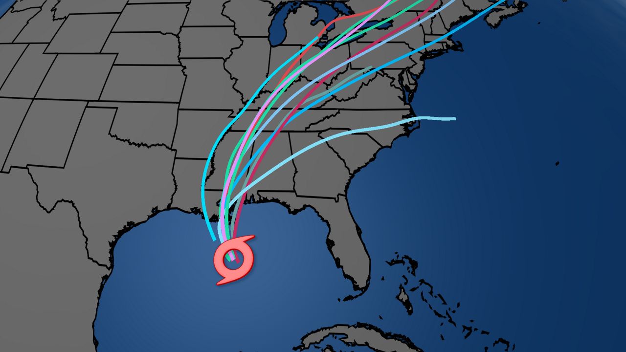
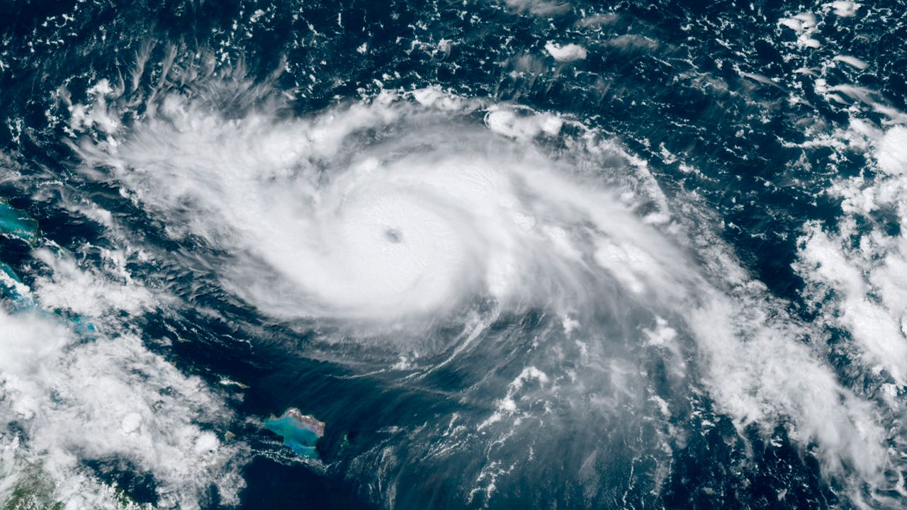
As Tropical Storm Isaias spins closer to Florida, Spectrum Bay News 9's meteorologists and reporters have you covered with rapidly updated information and resources to help keep you and your family safe both before and after the storm.
TRACK IT ▶ Tropical updates, Forecast models, Satellite loops, and more
OUTAGES ▶ Interactive maps and phone numbers
STORM SEASON 2020 ▶ Supply checklist | Tropical storm names | Debunking hurricane myths | Interactive storm tracker
GET WEATHER ALERTS ▶ Sign up to receive weather text alerts from Spectrum Bay News 9
Sunday, 5 p.m.
Dry air combined with wind shear coming from the west has kept Tropical Storm Isaias disorganized and weak. The heaviest rain and strongest winds have stayed offshore east of Florida because of that wind shear.
Occasional rain bands with some brief gusts will come into the Florida east coast from time to time overnight into early Monday morning, but we’re not expecting any major change to what we’re already seeing (most of the gusts we’ve seen so far have been in the 30s to 40s mph range between Vero Beach and Cape Canaveral).
Isaias will continue moving north, paralleling Florida and then make a turn to the north/northeast Monday afternoon and start increasing speed.
Sunday, 2 p.m.
Tropical Storm Isaias continues to slowly move northward just east of the Treasure Coast.
Isaias remains a strong tropical storm, with winds of 65 mph.
The storm is 90 miles southeast of Cape Canaveral, and is moving to the north-northwest at 9 mph.
It is still expected to lift northward and impact the east coast of Central Florida Sunday into Sunday night.
Tropical storm warnings are posted for the entire east coast of Central Florida.
Conditions will continue to worsen this afternoon and tonight, as Isaias gets closer to the area.
Gusty winds and rain squalls remain the biggest threats. A small storm surge of 1-3 feet is possible along the coast this evening at high tide.
Inland area will find breezy conditions today and tonight, with rain squalls at times.
Sunday, 11 a.m.
A few gusty rain bands will make their way across the state into the Tampa Bay Area but the winds are not expected to be sustained tropical storm force.
Isaias weakened to a tropical storm on Saturday evening and has remained disorganized since.
It continues to weaken as strong SW wind shear has been taking its toll on the storm. The strongest tropical storm winds remain to the east of the center of circulation. Recent radar data did indicate 60 to 65 mph wind NE of the Center to the north of Freeport in the Bahamas.
As Isaias moves NNW toward the SE Florida coast this afternoon, some winds may reach tropical storm strength (39mph+).
Sunday, 8 a.m.
Isaias remains a tropical storm and hurricane strength is not expected again so all hurricane related watches and warnings have been lifted.
Heavy rain and wind continues to pound the northwestern Bahamas.
Isaias weakened to a tropical storm on Saturday evening and has remained disorganized since.
Sunday, 5 a.m.
Isaias continues to bring heavy rainfall and winds to the NW Bahamas. Tropical Storm conditions nearing east coast of Florida.
The Hurricane Warning along the east coast of Florida has been replaced with a Tropical Storm Warning.
Saturday, 11:00 p.m.
Wind speeds remained the same as of the 11:00 p.m. update. Much of the storm's western side has been ripped up by wind shear and dry air, but Isaias still has an opportunity to reorganize as it moves up Florida's east coast.
Expect some gusty showers on Sunday in the Tampa Bay area.
Saturday, 8:00 p.m.
President Trump declared a state of emergency for the state of Florida as Tropical Storm Isaias approaches.
That allows the Department of Homeland Security and the Federal Emergency Management Agency (FEMA) to coordinate all disaster relief efforts.
The following counties are included in the emergency declaration:
- Brevard
- Broward
- Clay
- Duval
- Flagler
- Indian River
- Martin
- Miami-Dade
- Monroe
- Nassau
- Okeechobee
- Orange
- Osceola
- Palm Beach
- Putnam
- Seminole
- St. Johns
- St. Lucie
- Volusia
Saturday, 5:00 p.m.
Saturday, 8:00 a.m.
Gov. DeSantis Sat a.m. news conference:
The governor said a State of Emergencies declared for every Florida east coast county from Miami-Dade to Nassau.
Also, President Trump has approved the state's federal disaster declaration. That allows for federal reimburment for funds spent on storm recovery by the state.
And 12 counties have declared a local State of Emergency:
- Palm Beach
- Monroe
- Volusia
- Osceola
- Seminole
- Martin
- Okeechobee
- Orange
- Brevard
- Indian River
- Flagler
- Glades
Friday, 9:00 p.m.
Governor DeSantis requests "pre-landfall emergency" as Hurricane Isaiah moves closer to Florida.
In a letter on Friday, Florida’s Governor requested that President Trump declare a pre-landfall emergency for the following counties as people along the state’s east coast watch Hurricane Isaias inch closer.
- Brevard
- Broward
- Clay
- Duval
- Flagler
- Indian River
- Martin
- Miami-Dade
- Monroe, Nassau
- Okeechobee
- Orange, Osceola
- Palm Beach
- Putnam
- Seminole
- St. Johns
- St. Lucie
- Volusia
Earlier in the day, Governor DeSantis issued his own state of emergency for the same counties.
THE LATEST FROM OUR METEOROLOGISTS 🔽


