


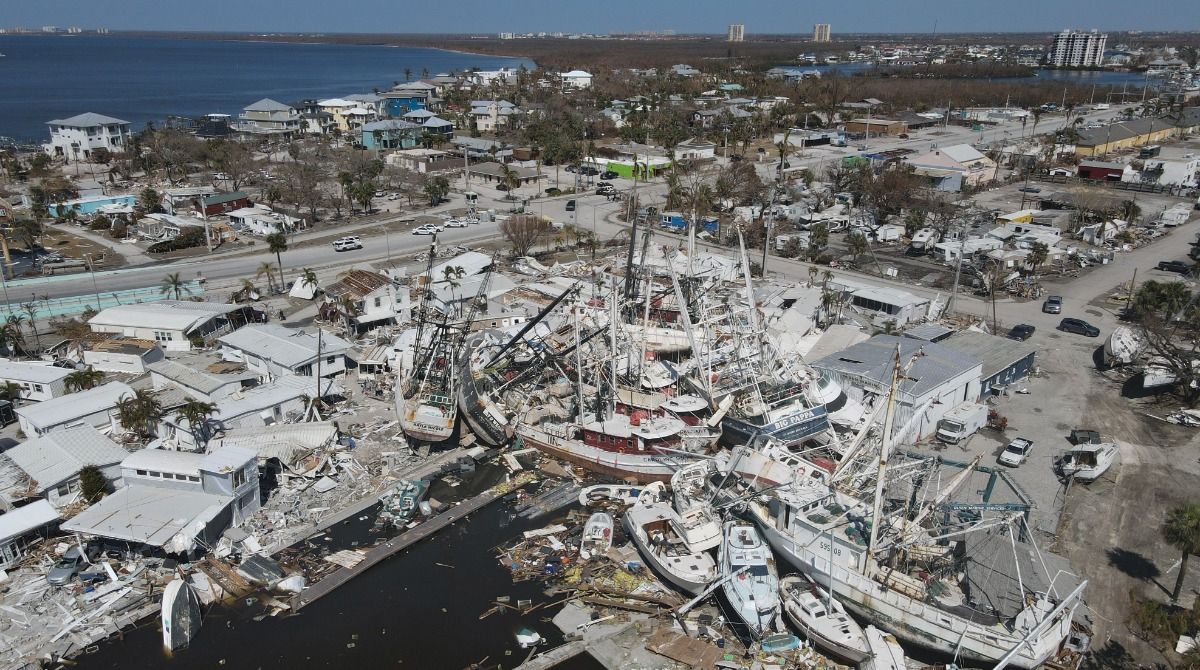
Flooding in Florida continue to leave communities underwater in the wake of Hurricane Ian, and the historic flooding could last months, according to the National Weather Service (NWS).
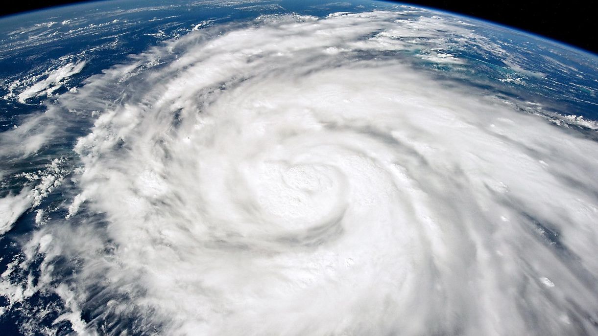
With models showing an eastern Gulf of Mexico storm as early as a week before, Ian grew in strength as it exited the northwest coast of Cuba and took aim at Florida's west coast Sept. 28. It became slowly evident the storm would not approach Tampa Bay and instead followed a near identical path to landfall as Hurricane Charley did in 2004.
Tampa city officials said it could take up to 60 days before they can clear every pile of debris that Hurricane Ian left behind.
The NWS Tampa Bay released the latest numbers on damages caused by Hurricane Ian.
The breakdown is as follows:
- LEE COUNTY: 52 fatalities 52,514 structures damaged, 5,369 destroyed. Preliminary cost $6.8 billion. Max wind gust at the Cape Coral Yacht Club 140 mph.
- CHARLOTTE COUNTY: 5 fatalities. Maximum storm rainfall 26.95" at Grove City. 200 homes destroyed but that number will go up as the assessment isn't close to being finished.
- SARASOTA COUNTY: 7 fatalities. Maximum wind gust 109 mph at Tarpon Point. Maximum rainfall 21.45" at North
- MANATEE COUNTY: 3 fatalities. 10 homes and businesses destroyed. 2,727 structures damaged. Estimated damage $1.1 billion. Highest wind at Verna 85 mph. Highest rainfall 15.03" Myakka Head.
- HILLSBOROUGH COUNTY: 2 fatalities. Maximum wind gust 88 mph in Tampa Bay. 75 mph at Tampa Intl Airport.
- POLK COUNTY: 2 fatalities. 1,500 structures damaged, 192 with major damage. Maximum rainfall 12" in Frostproof. Highest wind gust 75 mph Polk City.
- DESOTO COUNTY: 1 fatality. Heaviest rain 20.13" Zolfo Springs.
- HARDEE COUNTY: 9 fatalities. Maximum wind gust 81 mph in Wauchula.