Beryl was an early season, record-breaking storm that made three landfalls and strengthened into the earliest Category 5 storm in the Atlantic on record during its lifespan.
Beryl formed on Friday, June 28, becoming the second named storm of the 2024 Atlantic hurricane season. It first became a hurricane on Saturday, June 29, and on Sunday, June 30, it became the earliest Atlantic Category 4 storm on record.
It was the earliest major hurricane (Category 3+) to form in the Atlantic basin since 1966, and the third earliest major hurricane to form on record.
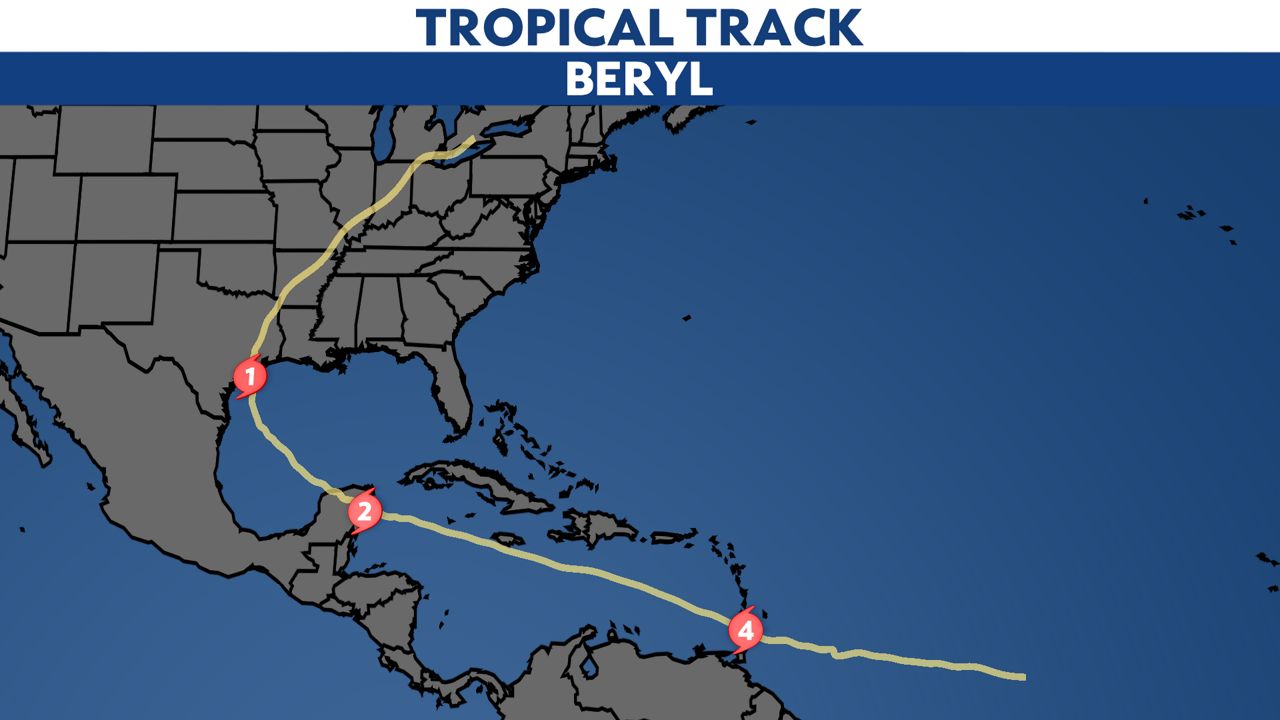
It made its first of three landfalls on Carriacou Island in Grenada on Monday, July 1, as a strong Category 4 with max winds of 150 mph. It was the earliest Category 4 storm to make landfall in the Atlantic basin on record.
Late on Monday, July 1, Beryl moved back over the southeastern Caribbean Sea and continued to strengthen into a Category 5 hurricane. It became the earliest Category 5 hurricane on record, breaking the prior record held by Hurricane Emily in 2005 by two weeks.
With max winds of 165 mph, it also made Beryl the strongest July Atlantic hurricane on record.
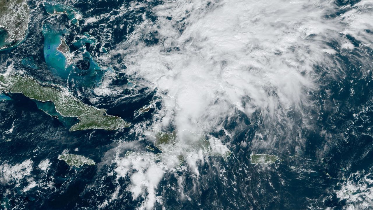
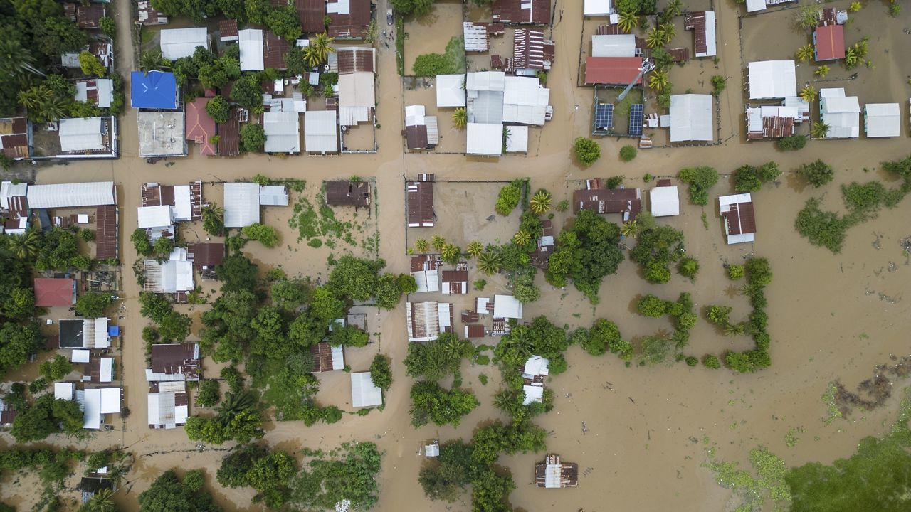
As Beryl moved across the Caribbean Sea, it brought strong winds, heavy rain and dangerous storm surge and waves to the southern coast of the Dominican Republic and Haiti.
It moved toward Jamaica as a major hurricane, and its eyewall brushed past the southern side of the country. It didn't make landfall on the island, but Hurricane Warnings were issued.
It also closely moved past the Cayman Islands after passing Jamaica.
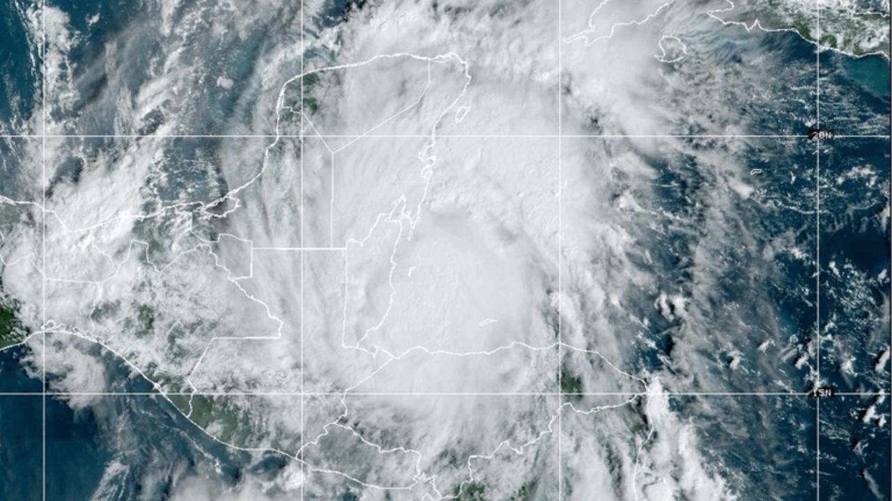
Beryl made its second landfall just northeast of Tulum on the Yucatan Peninsula in Mexico. It moved inland on the morning of July 5, as a Category 2 hurricane with max winds of 110 mph.
Beryl weakened over the Yucatan Peninsula because of the land interaction and became a tropical storm again. It eventually moved back over water in the Gulf of Mexico the day after making landfall in Mexico.
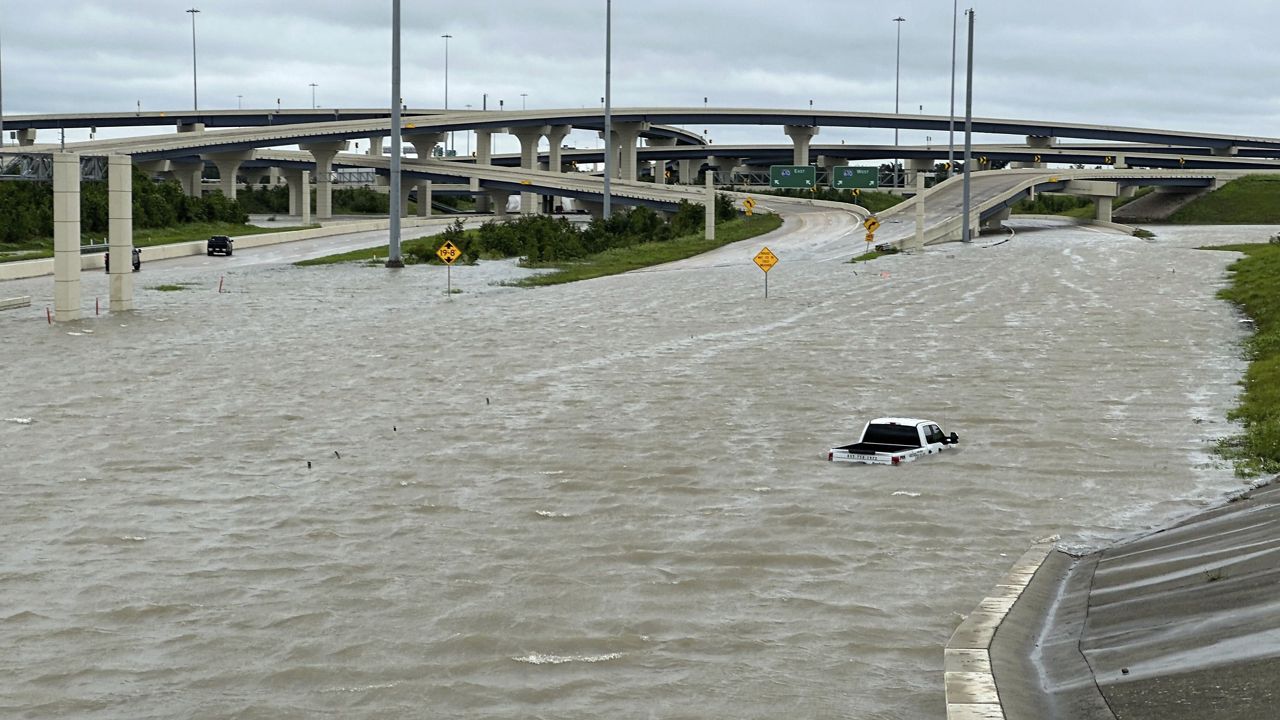
After moving back over water, Beryl gradually strengthened as it moved toward the Texas coast, becoming a Category 1 hurricane with max winds of 80 before making its third and final landfall near Matagorda, Texas, on July 8, 2024.
Heavy rainfall and hurricane-force winds raked parts of coastal Texas, knocking out power for more than 2.7 million homes and businesses around Houston after making landfall according to poweroutage.us
Beryl quickly weakened as it moved inland across Texas. It turned to the northeast, eventually transitioning into a post-tropical cyclone on July 9. The remnants of Beryl brought heavy rainfall across the Central U.S. into the Great Lakes and Northeast, and spawned a widespread, multi-day tornado outbreak.
Numerous significant tornadoes formed in Beryl's right quadrant after moving inland, with tornado warnings being issues across parts of east Texas, Louisiana and southern Arkansas.
On July 9, there were tornado warnings across northern Mississippi, Tennessee, Illinois, Kentucky, Indiana and Ohio. On July 10, the tornado threat moved northeast, bringing warnings across Pennsylvania, New York and New Hampshire.
As of July 9, there are 28 deaths atributed to Beryl, including 12 in the U.S. with more still missing.
We'll continue to monitor the latest tropical development. You can see other areas with development potential here.
Check to see how the 2024 Atlantic hurricane season is going so far.
Our team of meteorologists dives deep into the science of weather and breaks down timely weather data and information. To view more weather and climate stories, check out our weather blogs section.
)