A cold front will move south of our area overnight. Rain ends this evening.
- Saturday will be drier and breezy
- Highs in the mid 70s
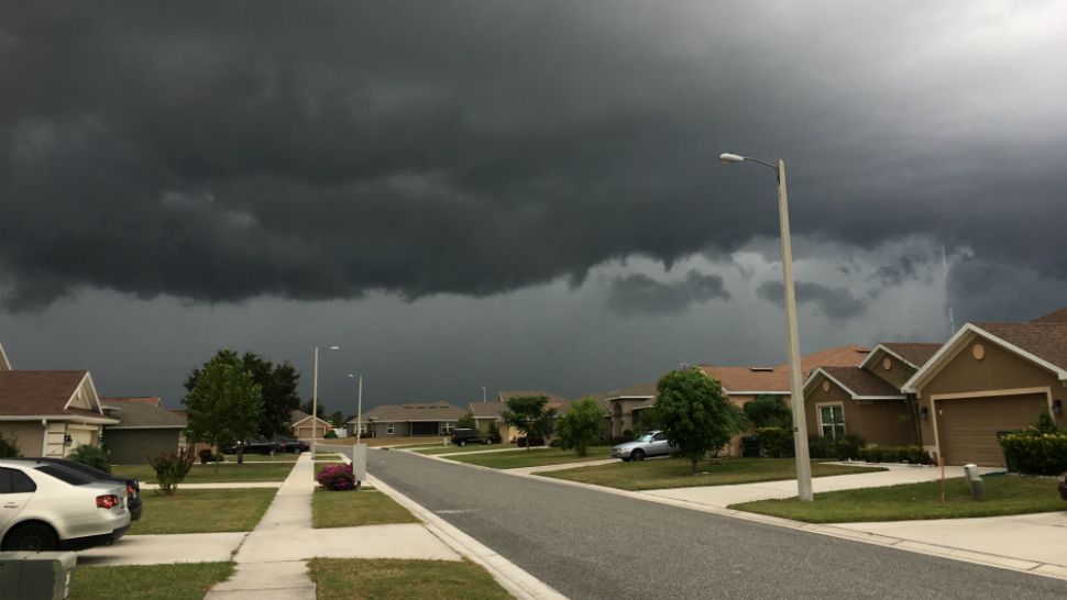
- RELATED: Residents, authorities assess Friday storm damage
- IMAGES: Friday storm damage photos
Overnight drier air will be moving in behind the cold front. Temperatures and dew points will drop.
High pressure builds in behind the front and it will be breezy overnight.
Low temperatures will be in the mid 50s in northern counties and the low to mid 60s in Tampa Bay.
- WEATHER ON THE GO: Download the Spectrum Bay News 9 app and get Klystron 9 alerts wherever you are.
- GET WEATHER ALERTS: Sign up to receive weather text alerts from Spectrum Bay News 9
- Klystron 9 | 7-Day forecast | Tampa Bay-area temperatures | Travel weather
Saturday will be drier and breezy with highs in the mid 70s. Winds will be northerly keeping the dew points low. Some clouds though will linger as the moisture won’t be pushed very far south.
On Sunday, the stalled front to our south will lift north as a warm front. Shower chances will move back into our area.
Sunday’s rain chance is 60 percent. The best chance will be in the afternoon.
It will get warmer and more humid on Sunday with highs in the low 80s.
Next week will feature the front lingering just to the north. So there will still be some rain chances each day, along with some lingering clouds and higher humidity.
Expect highs each day between Monday and Friday to be in the 80s and the lows at night in the 60s to low 70s. Temperatures will be above normal.