December has had its share of cold fronts, but a strong one is on the way for Christmas Eve.
December 2020 might end up being the first month with a below-normal average temperature since March 2018.
December started with a series of cold fronts and an overall pattern change across the United States. The eastern part of the country has seen some colder air and active storm systems.
The storms dragged cold fronts south through Central Florida, resulting in some cooler days.
The colder and much drier air behind these fronts allowed our mornings to run 15 to 20 degrees below normal at times. Our highs ran about 10 degrees below on some days.
Of course, in between our cold fronts, we warmed a little. But, it was not enough to offset the cooldowns.
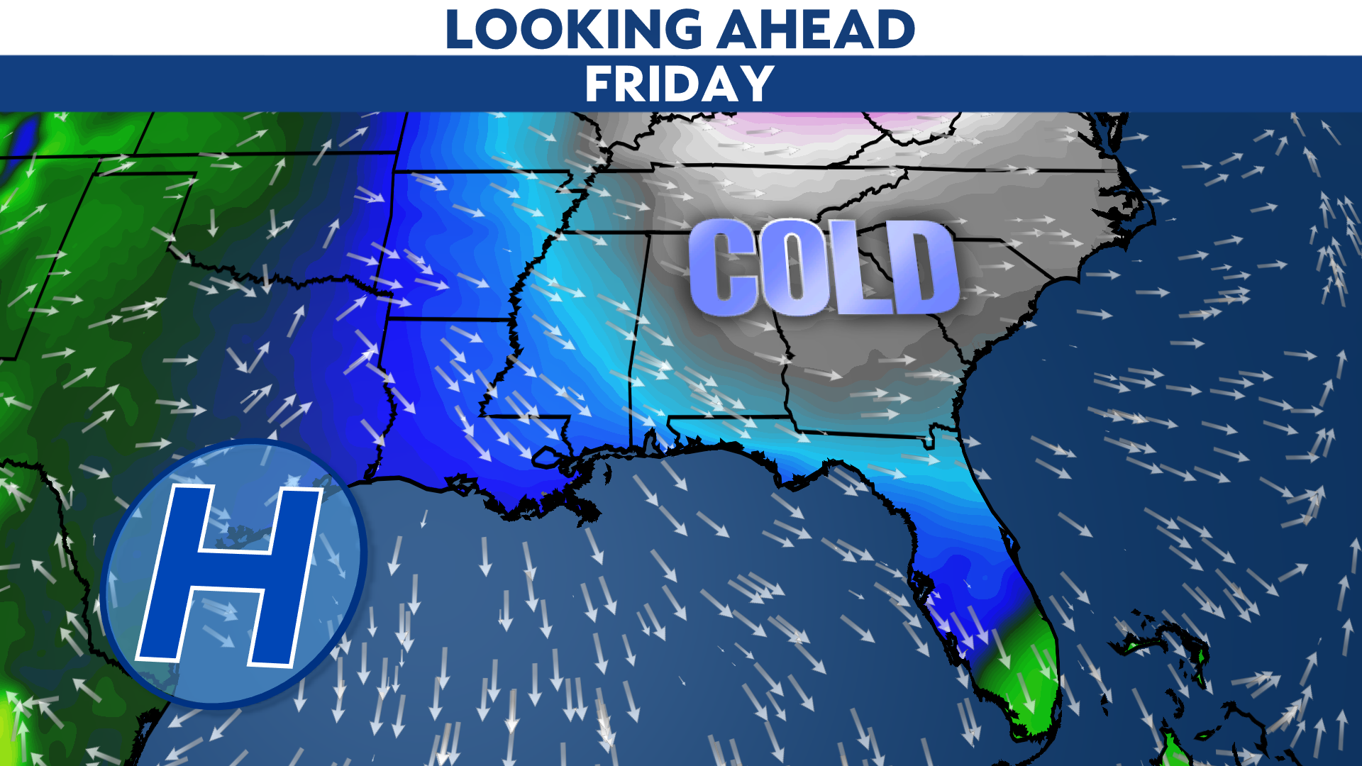
The strongest front of the season is on the way for Christmas Eve Day. After a round of showers and storms, much colder air will spill in on Christmas Day and last through the weekend.

Highs on Christmas Day may not get much warmer than the low to mid-50s in some spots, and Saturday morning will likely drop into the 30s. We can expect below-freezing temperatures north of Tampa Bay.
The official observation is taken in Tampa at Tampa International Airport. That site typically runs a little warm, especially for the morning low temperatures due to the expanding "urban heat island" effect. We wrote about this issue back in October 2018.
Even with the expected warm-up next week, we won't have enough warm days to get the monthly averages above normal.


