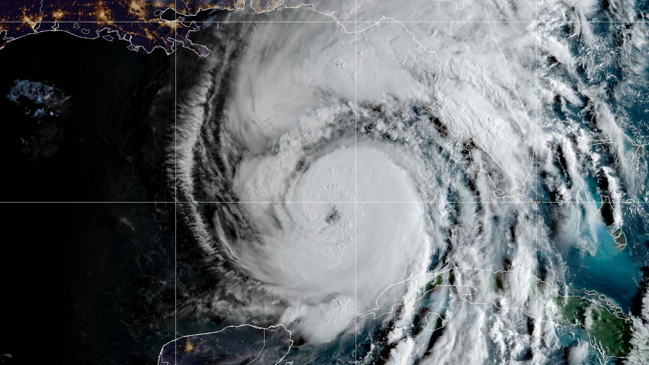
September 2022 is in the books as a wet month, and that was even before Hurricane Ian devastated Southwest Florida. The month behaved as a typical extension of the rainy season, as many Septembers do.
Early in September, there were several very warm and humid days with summer storms.
Typically in September, we wind down the rainy season. This year, that wasn't really the case.
Most days were very warm and humid, with daily showers and thunderstorms. Even before Hurricane Ian provided Central Florida with widespread heavy rain, the area ran above normal in the rainfall department for the month.
When all was said and done, the month ended with rainfall that was three to 10 inches above normal.
Temperatures were pretty typical for September, but the cool air that the departure of Hurricane Ian dragged in allowed the month to end with below normal temperatures.
Here is a look at the numbers.
October brings us our first bout of cooler weather. This year already saw that begin as Hurricane Ian departed. The last two days of September were about five to 10 degrees below normal and that has continued.
A typical October begins with a high of 89 and a low of 73, but by the 31st, those numbers go down to 82 and 65.
October is also usually a dry month. A normal October has only 2.35 inches of rainfall.
It can still get hot in October. On Oct. 9, 1941, the temperature hit 95 degrees in Tampa for a record high.
It can also get rather chilly. On Oct. 21, 1964, the morning low was 40 in Tampa!
The wettest October day on record in Tampa was when the 1921 Hurricane moved through. Over five inches of rain fell in Tampa that day.
Our team of meteorologists dives deep into the science of weather and breaks down timely weather data and information. To view more weather and climate stories, check out our weather blogs section.


