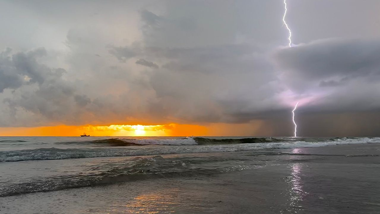
This week, Feb. 5-9, is severe weather awareness week in Florida, and each day focuses on different weather hazards we experience across the state.
We focused on lightning safety on Monday as Florida is the lightning capital of the United States, with an average of 112.6 lightning strikes per square kilometer in 2023, according to Vaisala. The Ft. Lauderdale area saw the most strikes last year with 120,998 flashes.
If you can hear thunder, stop any outdoor activities and seek shelter indoors. You can only hear thunder if a lightning strike is 10 miles away or less.
It's important to stay away from windows and electronics that are plugged into outlets. Also, avoid taking a shower or a bath.
Tuesday's focus is on marine hazards, specifically rip currents. Rip currents kill more people in Florida than hurricanes, tornadoes and lightning combined in an average year.
It's important to pay attention to the beach flag system to know the rip current risk for the day and if harmful marine life is present.
Green flags represent a low rip current risk, yellow flags represent a moderate risk, red flags represent a high risk, double red flags mean the beach is closed for swimming and purple flags represent dangerous marine life.
If you are in a rip current, swim perpendicular to the current, not against it. If you can't get out of the current, tread water and wave for help.
Wednesday's focus is on tornadoes. First, it's important to know where to go in the event of a tornado.
The lowest interior room is the safest place to go during a tornado. Stay away from windows, wear closed-toed shoes and grab anything you can use to shield yourself from debris (helmet, blankets or pillows).
Have multiple ways to receive Tornado Warnings or other weather alerts. A NOAA Weather Radio, wireless emergency alerts on your phone and the Spectrum News App are all reliable sources for warnings.
The state will conduct a voluntary tornado drill at 10 a.m. on Wednesday.
Thursday's focus is on hurricanes and flooding. Hurricane season runs from June through November, but tropical systems can still form outside of this time frame.
While hurricanes produce powerful damaging winds, flooding is the leading cause of death in these systems. Besides damaging winds and flooding, tornadoes and storm surge can also occur with hurricanes.
It's important to develop a disaster plan, keep a disaster kit stocked for 7 days of supplies and know your local evacuation routes.
Review your insurance plan and make sure your coverage is up-to-date. Just one inch of water in your house can cause over $25,000 in damage.
Like in tornadoes and severe thunderstorms, it's also important to have multiple ways to receive weather alerts during hurricanes and tropical storms.
Friday's focus is on temperature extremes and wildfires. While cold weather is uncommon in Florida, especially as you go south, we still get cold snaps.
In the event of freezing temperatures, you should know the five Ps: protect people, pets, pipes and plants and practice fire safety.
Wildfires can also occur in Florida, particularly during the end of the dry season in the spring. Stay informed of any active fires and fire weather alerts.
Evacuate if you are told to do so, and using an N95 can help protect you from smoke inhalation.
Our team of meteorologists dives deep into the science of weather and breaks down timely weather data and information. To view more weather and climate stories, check out our weather blogs section.


