Earlier this week, the National Oceanic and Atmospheric Administration (NOAA) released its third upgrade to the Probabilistic Storm Surge (P-Surge) model, just in time for the 2023 hurricane season.
The P-Surge model is the primary tool used by forecasters across the nation to predict storm surge events, commonly associated with hurricanes and tropical storms.
The upgraded version, P-Surge 3.0, includes several new capabilities that improve the understanding of the risk of storm surge.
The new features include improved model calculations of friction over land surfaces, the ability to run the model simultaneously for two different ongoing landfalling storms, and new forecasts for surge, tides and waves for Puerto Rico and the U.S. Virgin Islands.
These improvements will enable forecasters to more accurately model and forecast the extent of water inundation along the coast, helping to protect coastal communities from the devastating impact of storm surge.

The need for a storm surge model was first discovered following the extreme flooding that occurred along the Outer Banks of North Carolina and the Tidewater of Virginia following Hurricane Isabel in 2003.
P-Surge was developed and released ahead of the 2017 hurricane season on a preliminary and non-operational status.
The storm surge model and associated alerts (Storm Surge Watch and Warning) will enter fully operational status for the first time this hurricane season, bringing to an end its testing phase.
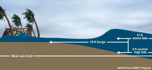
Storm surge is a significant threat associated with landfalling tropical systems. It’s the abnormal rise of water generated by a storm over the predicted tidal cycle.
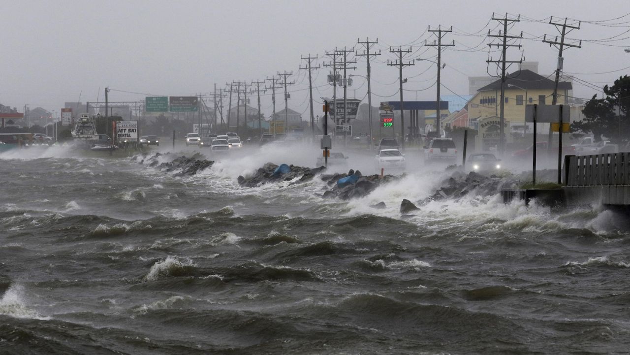
This surge of additonal seawater onto land often causes flooding and extensive damage to property and infrastructure along coastal communities.
By improving the model’s prediction techniques, emergency managers and local officials will have better information to prepare for and respond to storm surge events, potentially saving lives and reducing economic losses.
The P-Surge model is a probabilistic model, meaning it uses a range of possibilities to predict the likelihood of potential storm surge values at a specific location. This model can be run anywhere along the Atlantic and Gulf Coast states, as well as Puerto Rico and the U.S. Virgin Islands.
All week long, Spectrum News has been helping prepare you for the upcoming hurricane season. The season starts on June 1, 2023, but the first tropical weather outlook will be issued in just over a week - on Monday, May 15, 2023.
Remember, you can always prepare now. Know if you live in an evacuation zone. You can find that out by clicking here and typing in your address to determine if you live in a zone and what your best evacuation route is.
You can also prepare for hurricane season by purchasing some items for a hurricane kit. You don’t need to buy everything all at once.
Instead, buy an item or two for your kit each time you go to the grocery store over the next five weeks. To get a better idea of what goes into a hurricane kit, click here.
Our team of meteorologists dives deep into the science of weather and breaks down timely weather data and information. To view more weather and climate stories, check out our weather blogs section.


