A strong low pressure system has brought widespread rain that will come down heavy at times.
Expect steady rain to continue overnight through the early morning hours. You can check the radar here.
Winds could gust as high as 40 mph, so secure any loose objects in your yard. Winds will be stronger over offshore waters, with east winds at 20 to 30 knots and gusts to 40 knots.
A small risk of a strong or severe thunderstorm exists through early Sunday morning, with the area under a slight risk (level 2/5). A Tornado Watch could be issued overnight.
)
Strong wind gusts are possible in some stronger bands, but we can't rule out an isolated tornado.

Because of the gusty winds, seas could be 7 to 10 feet. As a result, a Gale Warning is in effect for offshore waters until 7 a.m. Sunday
A Coastal Flood Warning is in effect for the Tampa Bay area until 7 a.m.
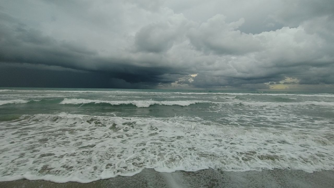
Expect high surf and rip currents along with the threats of tides 1 to 3 feet higher and beach erosion.
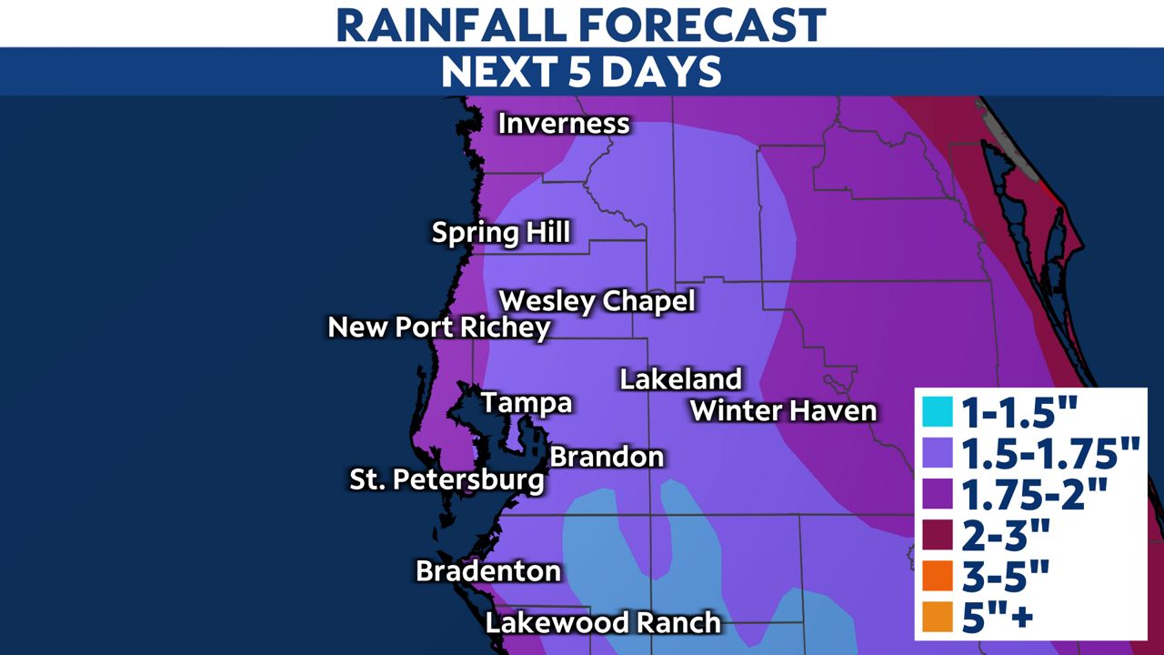
A general one to two inches of rain is expected, but some areas could see locally higher amounts. Some localized flash flooding is possible through Sunday morning.
Skies gradually clear on Sunday morning with a small chance of a few leftover showers.
Our team of meteorologists dives deep into the science of weather and breaks down timely weather data and information. To view more weather and climate stories, check out our weather blogs section.