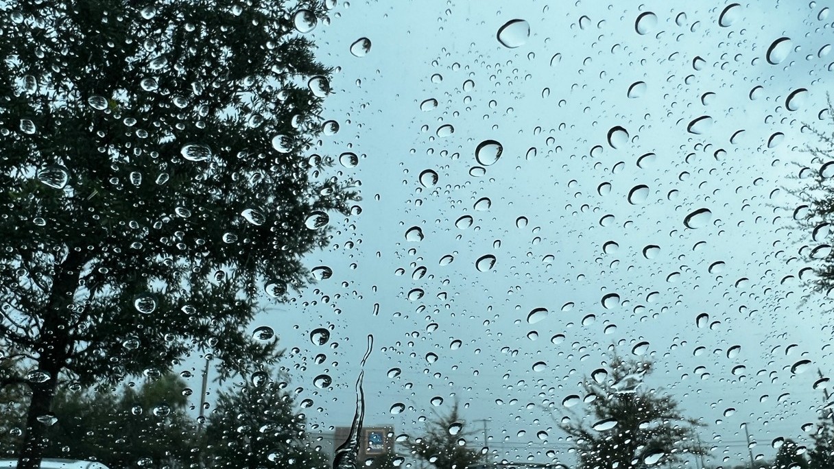
After a dry start to June, heavy rain fell Tuesday and more is on the way through the week.
A stationary front will sit over Florida for the next few days, bringing daily showers and storms.

With this front nearby, expect off and on downpours and thunderstorms each day through at least Friday.
It may not rain all day, but it will be for longer than your typical rainy season pop-up thunderstorms.
The ground has been saturated from heavy rain Tuesday so a Flood Watch is in effect from Manatee County southward.
The highest rainfall totals will be south of Tampa Bay as the tropical moisture will be greatest south of the front.

Rainfall amounts will be around 3 to 6 inches south of Tampa Bay through Friday with less for Tampa and north.
A significant improvement or elimination of the drought is expected after this period of rain moves through.
Lower rain chances could return early next week.
Our team of meteorologists dives deep into the science of weather and breaks down timely weather data and information. To view more weather and climate stories, check out our weather blogs section.


