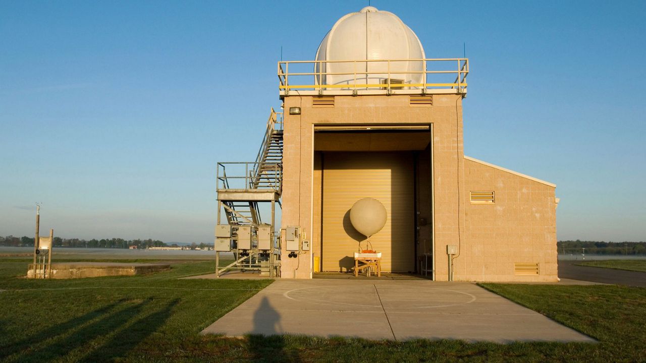
Klystron 9 replaced our Doppler 9000 in 2009 and covered the Tampa Bay area until 2020, when it was replaced and upgraded to new Klystron.
The upgrade from the Doppler 9000 to Klystron 9 gave us almost three times the power.
The old Doppler used a Magnetron tube, but our current radar uses a Klystron tube, which can handle more power.
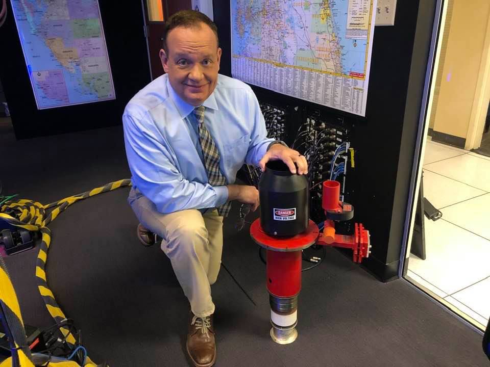
Klystron 9 allowed us to use a new radar mode called dual-polarization.
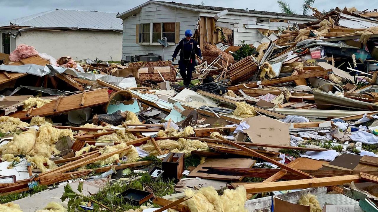
This allows the radar to do both vertical and horizontal scans, which can give us a much better idea about precipitation type and can allow for us to spot debris that is lofted in tornadoes or even strong hurricanes.
Our Doppler 9000 was sent over to Orlando for use after being replaced by Klystron 9.
In 2020, Klystron 9 was replaced and upgraded. Nearly everything, but the tower, was replaced.
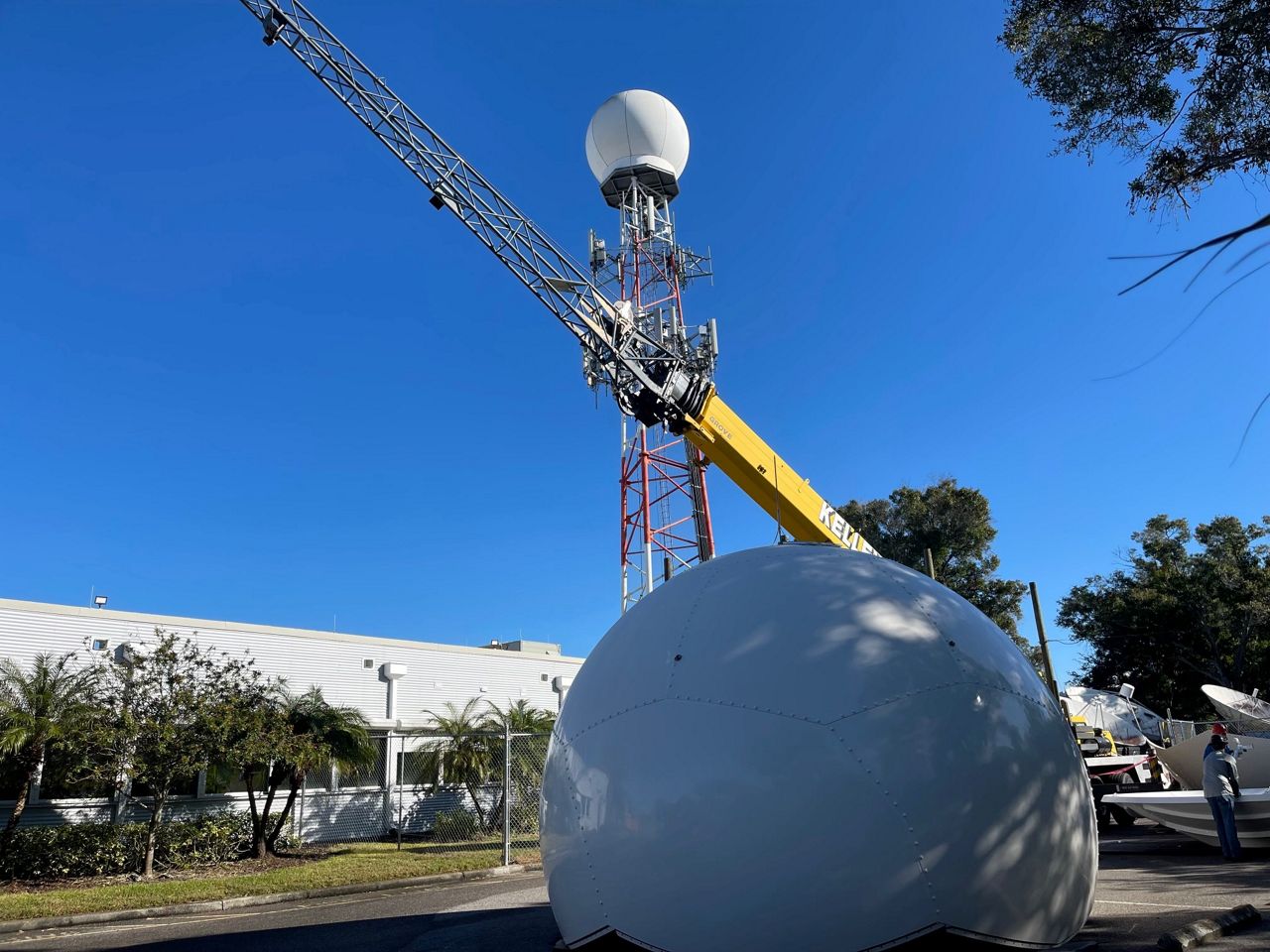
This included a new Klystron, transmitter, receiver, pedestal (this moves the dish in circles), and a larger antenna.
A new radome was also constructed in 2020 with a design first used by the Navy.
The radome is a dome that protects the working elements of the radar and this new design helps shed rain more efficiently.
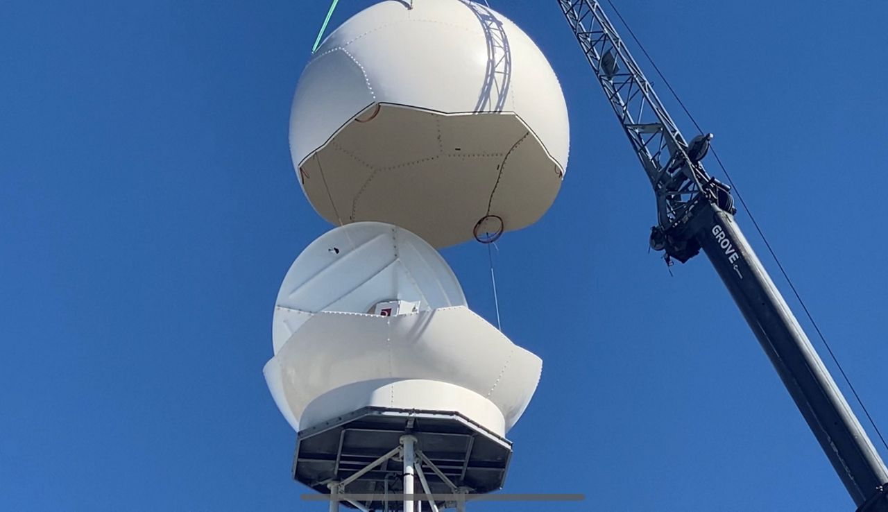
Heavy rain can attenuate the radar, which reduces the reflectivity picked up by the beam. This makes it appear it is not raining as heavily as it actually is on the scan.
The receiver sits on the back of the antenna inside the dome and rotates 2 times a minute with the antenna.
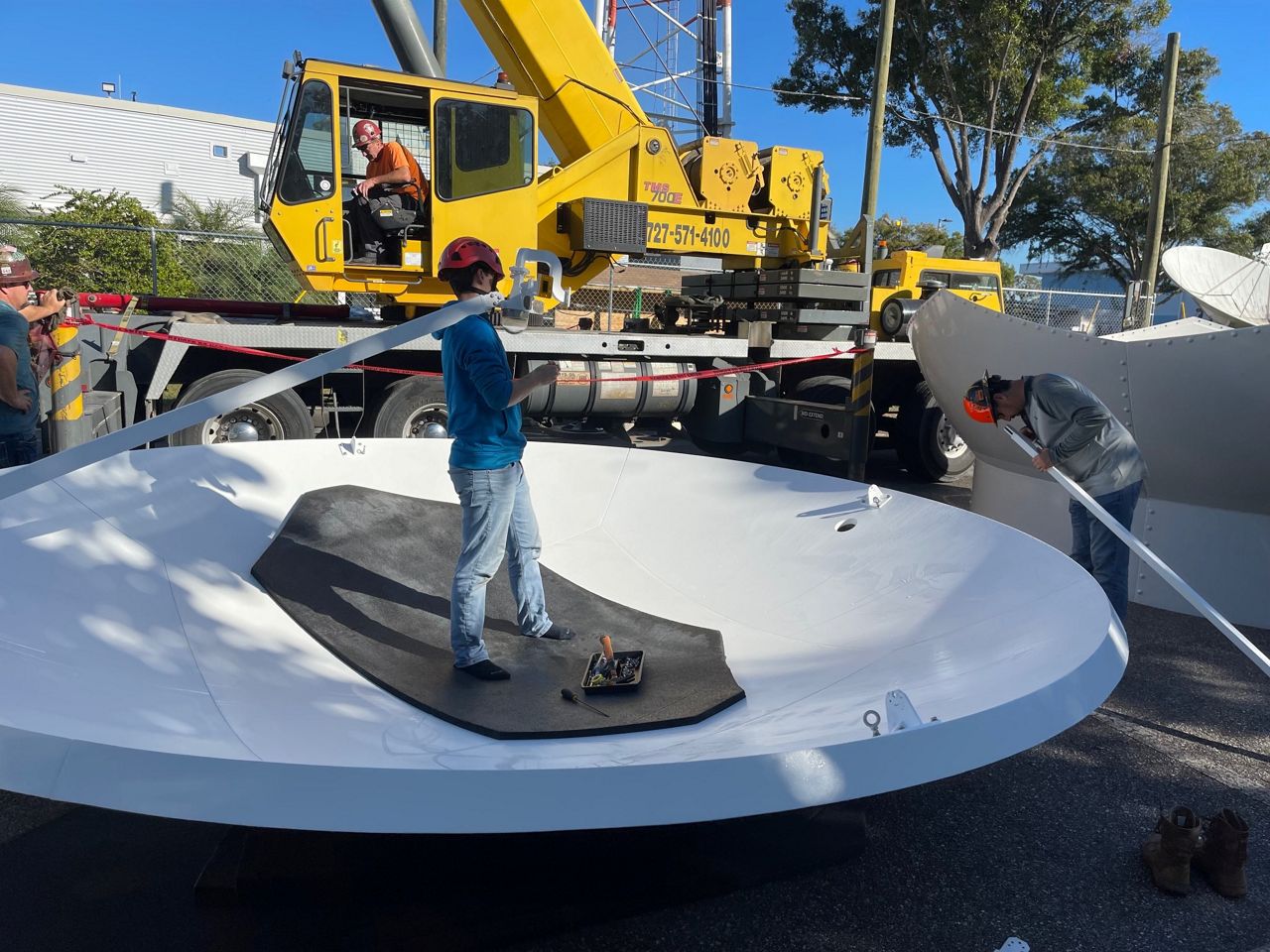
This produces a lot of heat, so keeping the sensitive electronics inside cool is essential.
There is a small air conditioner on the back of the dish that rotates with it and keeps the electronics at a constant 80 degrees.
When the radar beam is sent out, it moves in a straight line, but since the earth is curved, that means the beam gradually arrives at moves away from the site.
The beam is just 100’ above the ground when it leaves the radar site in Pinellas Park, but by the time it is over southeastern Polk County it is 8,600 feet above ground.
If you are close to our radar, or any radar, you will have a better picture of what is going on at the ground compared to areas farther away.
Our radar can detect precipitation from 300 miles away, but it will overshoot most cells at 200 miles, except for some tall severe thunderstorms.
Weather radars spend most of their time listening (or receiving) pulses that are sent. If a weather radar operates for a week, it only spends about two hours transmitting, the rest of the time is spent listening.
Radars pick up more than just precipitation. They can detect almost anything in the air, including bugs, birds, buildings, and aircraft. Kylstron 9 has a machine-learning program to eliminate most of these non-meteorological returns.
Each time the radar sweeps around, the data is sent to a computer in Huntsville, AL that removes unwanted data and keeps the rain. The data is then immediately returned to our weather center with only a 30 second delay.
This gives Klystron 9 a very clean, easy to understand image on air and on our website.
Our team of meteorologists dives deep into the science of weather and breaks down timely weather data and information. To view more weather and climate stories, check out our weather blogs section.


