ST. PETERSBURG, Fla. — We will not have any affect from Hurricane Dorian this holiday weekend.
- Scattered storms for our area
- Dorian slowing down near Bahamas
- Dorian will pass in the Atlantic on Tuesday
- Tracking Hurricane Dorian
- SEE BELOW: See our 7-day forecast ▼
- CALCULATE: How hot can your vehicle get? ▼
Scattered showers and storms all moved westward across the region and toward the Gulf of Mexico today.
Expect brief gusty winds inside the heaviest showers and storms as they pass. Coverage will decrease tonight and then pick up again Monday afternoon.
Hurricane Dorian is down to our southeast in the northern Bahamas between Great Abaco Island and Grand Bahama.
Dorian is close enough to influence our weather but not close enough to give us significantly bad weather. Overnight into early Monday morning will be mainly quiet, with partly cloudy to mostly clear skies and lows in the 70s.
There will be a breeze from the east-northeast, but outside of the showers the prevailing wind will not be that strong, mainly in the 10 to 15 mph range.
- WEATHER ON THE GO: Download the Spectrum Bay News 9 app and get Klystron 9 alerts wherever you are
- GET WEATHER ALERTS: Sign up to receive weather text alerts from Spectrum Bay News 9
- Klystron 9 | 7-Day forecast | Tampa Bay-area temperatures | Travel weather
Dorian will move closer to the east coast of Florida Monday and slow way down, almost coming to a halt.
As a result, our winds will shift and come from the northeast to north. It will be a bit breezy, but the brief gusty winds will be most noticeable inside any passing showers and storms.
That’s when the winds could briefly gust to 40 mph, which is what they did today. The coverage of showers and storms will again be at about 60 percent, with the best coverage during the day and then decreasing coverage late in the day going into the evening.
Highs will still be around 90 since Dorian will be far enough away to not make a big difference with our temperatures.
Tuesday will be the day that Dorian makes its closest pass to the east of Florida. It will stay far enough away from our area to not have a significant impact, but there will be noticeable gusty showers.
Outside the showers winds will be in the 15 to 25 mph range, but inside the showers the winds will gust in the 35 to 50 mph range. The higher gusts will be the farther you go east, closer to Dorian on the other side of the state.
Also, the better coverage of showers will be from Polk County eastward on Tuesday.
Expect the overall coverage across the entire region to still be at about 60 percent, but the bulk of that will be east of I-75 and from Polk county eastward.
7-day forecast

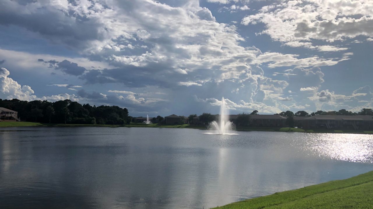
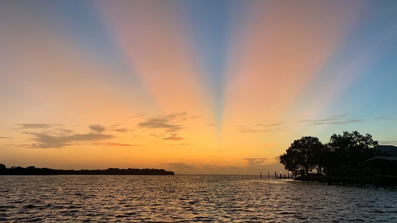
We want your pictures!
Show us what the weather looks like in your neighborhood. Your photo could end up on Spectrum Bay News 9.
- Get the Spectrum Bay News 9 app for iOS or Android
- Tap "Submit Content" at the bottom of the app menu
- Remember to include your name and location