


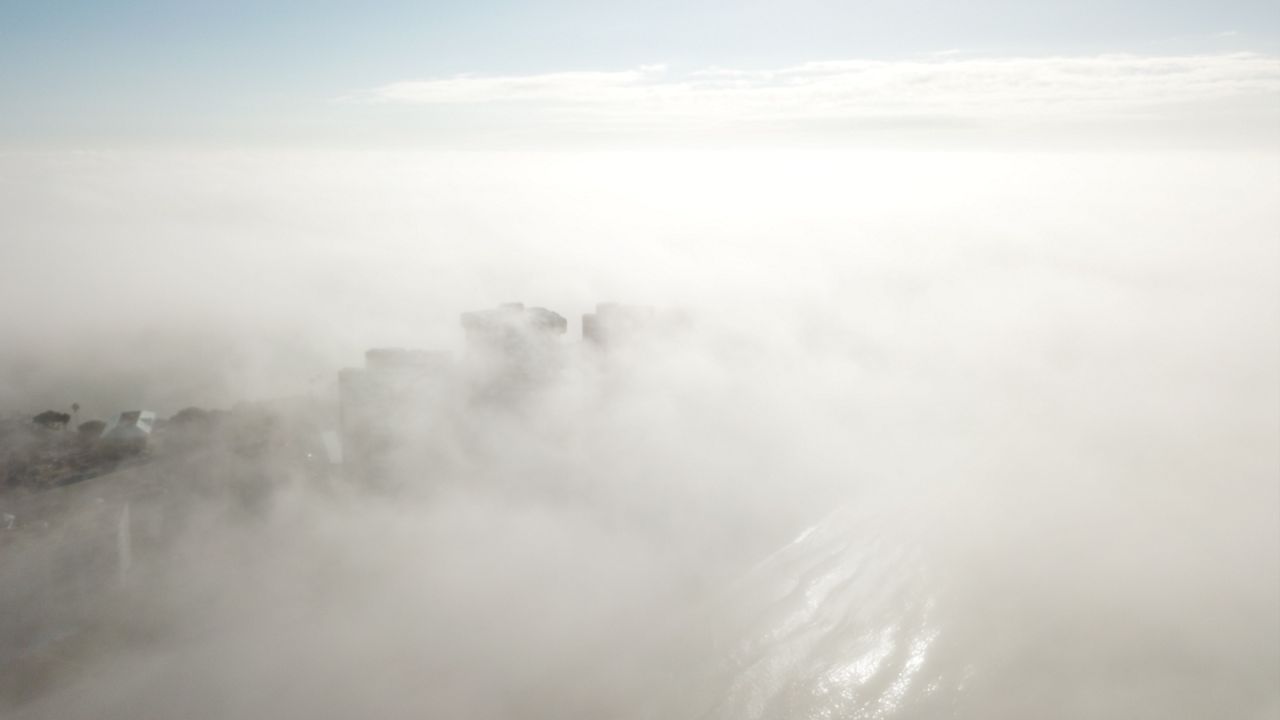
We're in sea fog season in Tampa Bay and this week has been no exception. It's very shallow and seeing tall buildings rise above the fog layer is very common.
We'll show you a video taken earlier in the week demonstrating how shallow the fog layer is. You may be surprised!
The big story for much of the week has been fog. Many mornings have been gloomy and the visibility was reported to be near zero at times. This made the commute difficult for some.
Sea fog is especially tricky because it moves around whereas 'regular' fog just lingers until it burns off. Ultimately, sea fog and inland morning fog are two different types of fog that form in different ways.
Sea fog is also known as advection fog. It forms when you have warm, moist air flowing over colder ocean waters.
Advection fog is very common in colder climates too. It forms when you have a warm air mass flowing over a snow-covered surface.
The other type of fog that you see in the morning, especially away from the coast, is called radiation fog. This happens often on clear nights when winds are light.
With radiation fog, temperatures cool down enough to where the air mass become saturated and creates fog. This fog usually goes away soon after sunrise when temperatures start to climb.
Sea fog can linger well into the day and since it moves around, visibility can go from a ten down to zero real fast, making it especially dangerous.
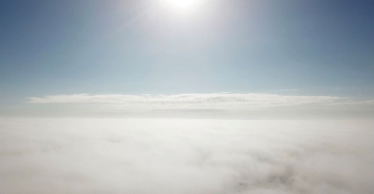
Both sea fog and radiation fog have one thing in common: they're both very shallow. Often the sun is shining bright just a few hundred feet above the surface in both cases.
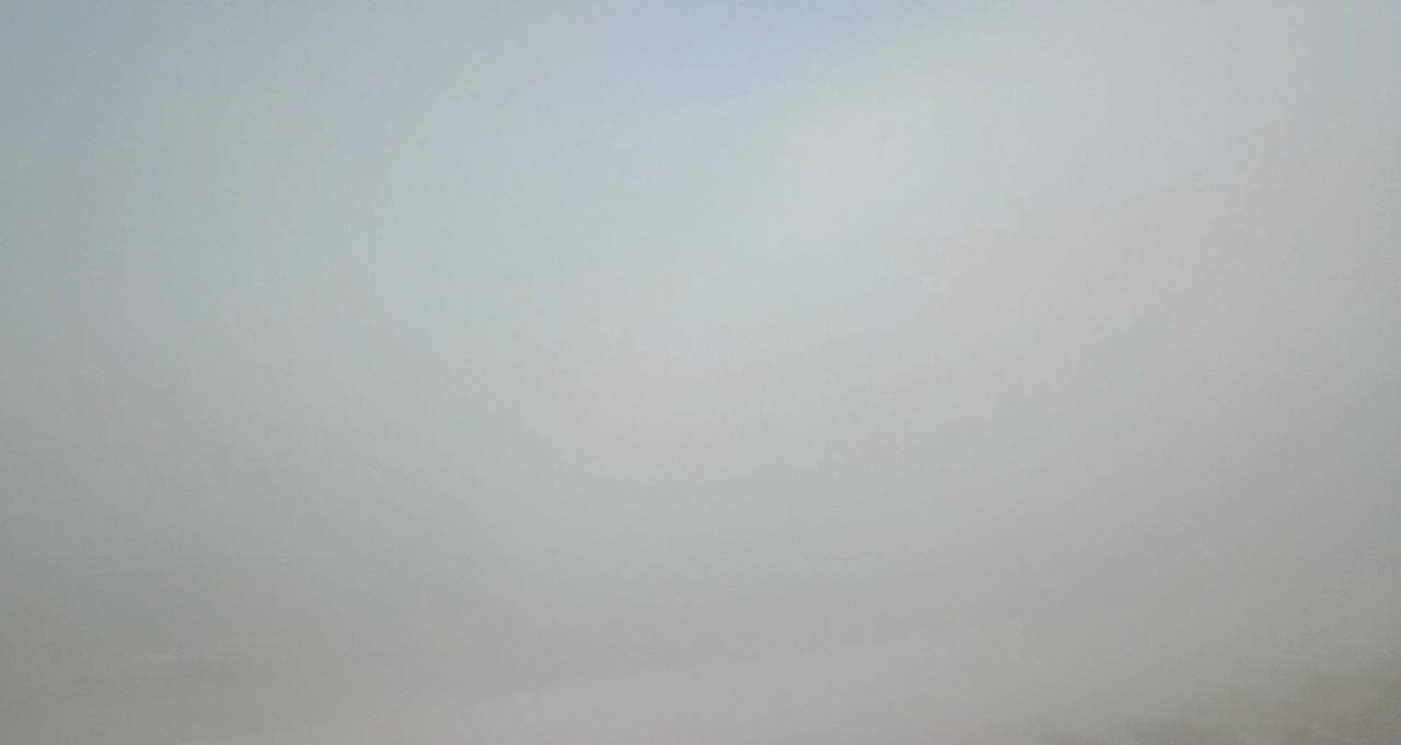
This image probably looks like it could have been taken from your backyard this week since you can't really see much. Instead, it was taken at the beach.
You might've wondered how thick the fog layer was. It's not thick at all and the image below was taken just 300 feet above the ground.
It looks like someone snapped the photo from a jet airliner traveling across the country.
If you think that is cool, check out the video below showing the ascent above the fog layer.
Another example of this captured by Spectrum Bay News 9 Traffic Expert, Chuck Henson, who noticed the majestic views atop the Sunshine Skyway Bridge.
At the top of the bridge, there is roughly 180 feet between the bottom of the roadway and Tampa Bay. It illustrates perfectly how boaters are sailing with low visibility whereas drivers at the top of the bridge have great visibility and a gorgeous view of the illuminated bridge.
Let's make another stop in Seattle known for its buildings rising high above the fog, especially the iconic Space Needle. While you don't see the Space Needle in the image below, you do see two high-rise buildings and the summit of Mount Rainer rising above the fog.
Weather is a very cool topic and the next time you step outside on a foggy morning, just know the sunshine is probably no more than 300 feet above you.