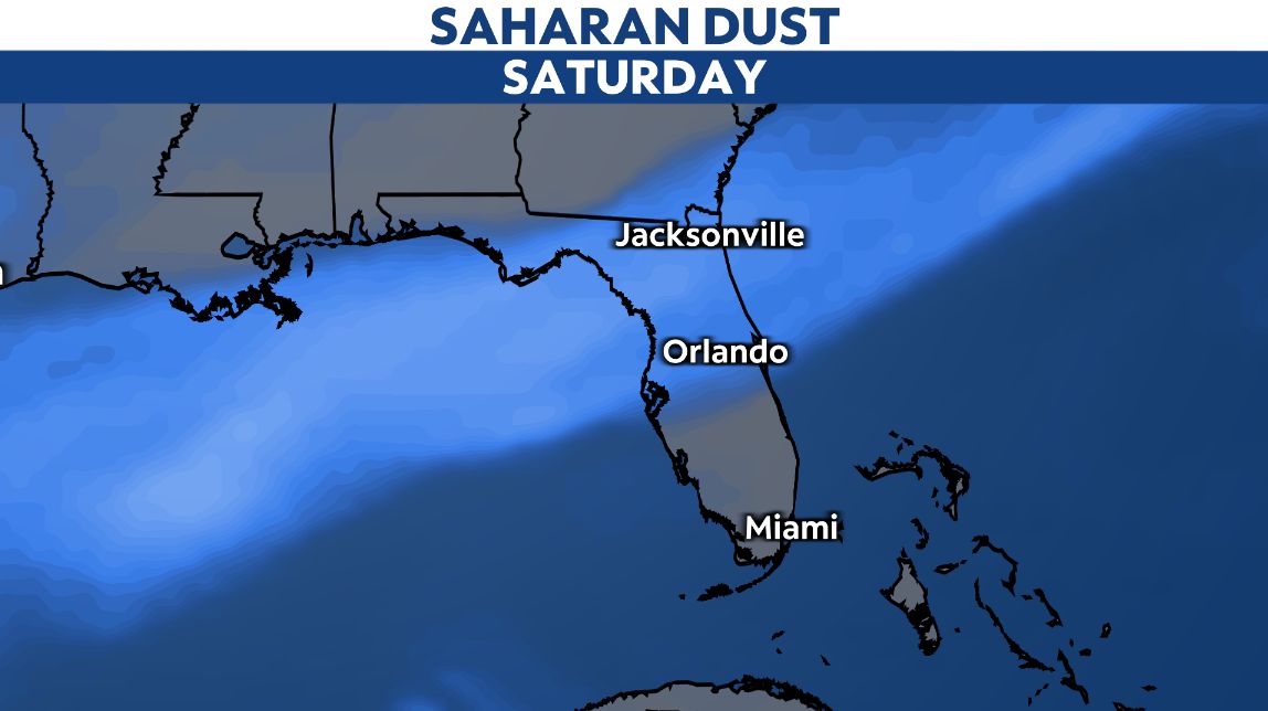
Have you noticed haze in the air for the last two days? Do the sunrises and sunsets seem a bit more colorful? These are indications that Saharan dust has moved into the sunshine state.
This dust does indeed come from the Saharan desert in north Africa. It travels by upper-level winds across the Atlantic and pushes northwestward into Florida.
This is the first major plume of dust to affect the state this season, and Saharan dust is typical in months of July and August in this area. It looks to remain in place this weekend.

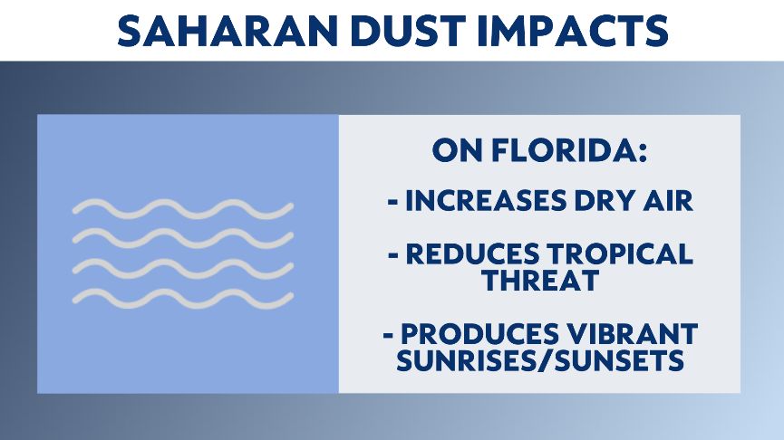
The dust helps dry out the atmosphere, which leads to more sunshine and significantly fewer showers and storms. The tradeoff is with increased sunshine, temperatures often soar into the mid and upper 90s.
Saharan dust is most noticeable in the daytime, where a haze is seen in the distance. This is the dust itself that sits in the upper-level of the atmosphere.

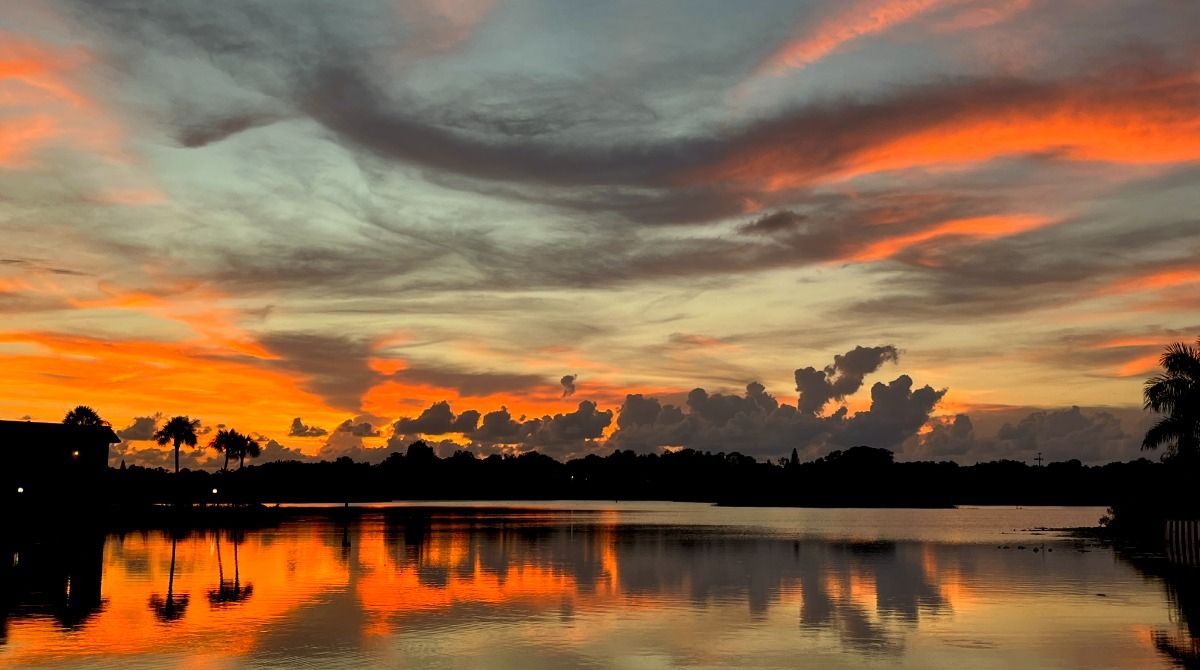
The dust also helps creates vibrant sunrises and sunsets. The dust particles help refract light as the sun is rising and setting, creating colorful oranges, pinks and yellows across the sky.
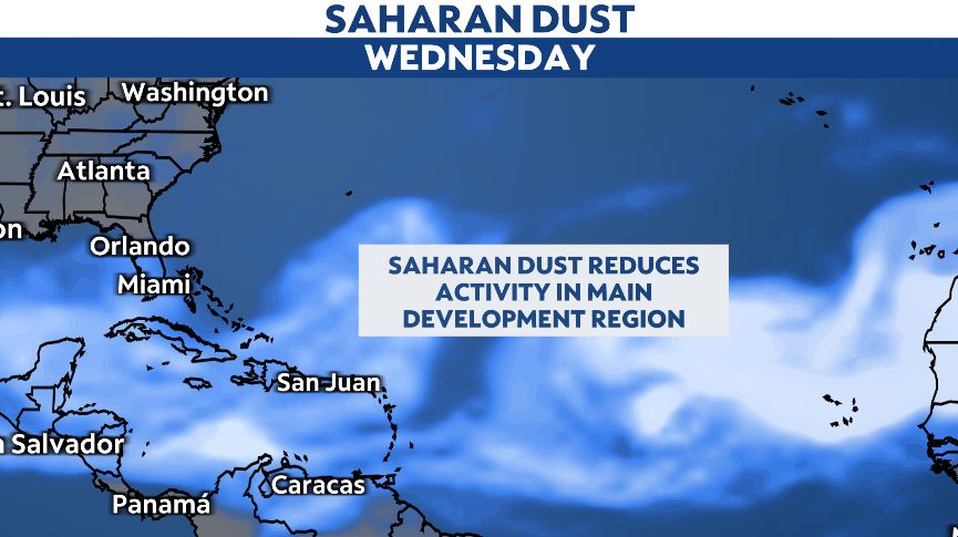
But Saharan dust has an important role in the tropics — it helps reduce tropical storm and hurricane activity.
The dust acts like a lid that does not allow tropical waves to organize further. The waves dry out as they interact with the dust, resulting in a system that cannot organize further.
There are strong indications that Saharan dust will remain dominant across what’s called the Main Development Region, or MDR, into early August.

Unfortunately, the dust will not last forever, and tropical waves will eventually have an ability to organize and become storms in late August and September.
So, while it may be hot the next several days, enjoy the spectacular sunrises and sunsets, and thank dust from the Saharan desert for it.


