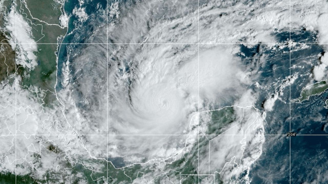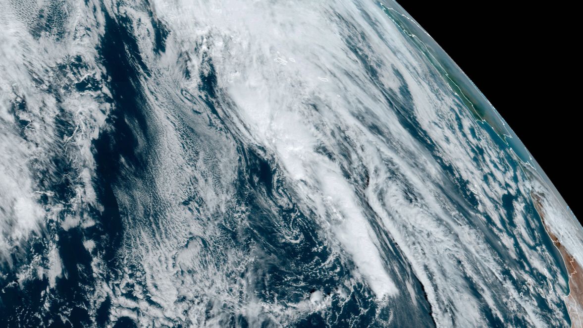
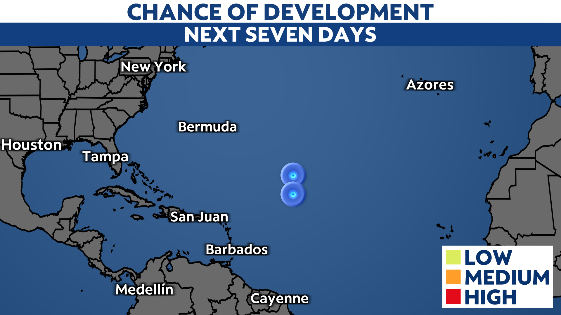
Even though the area of low pressure over the central Atlantic is still being monitored, its odds of developing continue to diminish.
This disturbance is still producing disorganized showers and thunderstorms over the open central Atlantic. The opportunity for this system to gain some tropical or subtropical characteristics continues to decrease as it moves over colder water this weekend.
It still has a low chance of developing over the next day or so, but its chances will end thereafter.
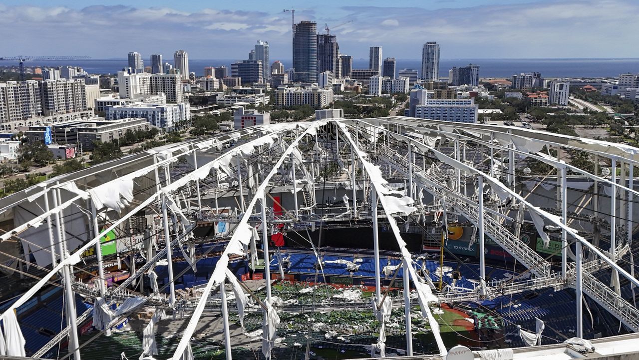
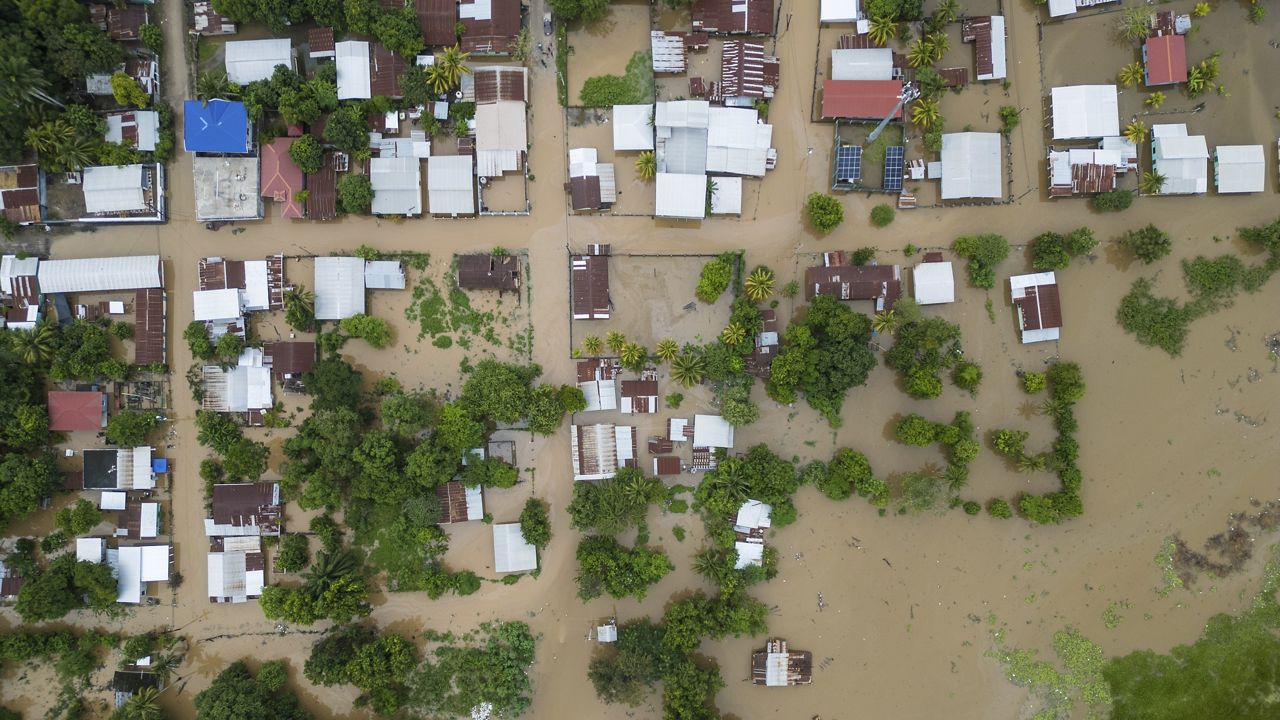
Check here for a look at the 2023 Atlantic hurricane season so far.
Our team of meteorologists dives deep into the science of weather and breaks down timely weather data and information. To view more weather and climate stories, check out our weather blogs section.